Weather: tumbling jet stream shows a special phenomenon - researchers with a clear assessment
Created: 07/14/2022, 10:50 am
By: Martina Lippl
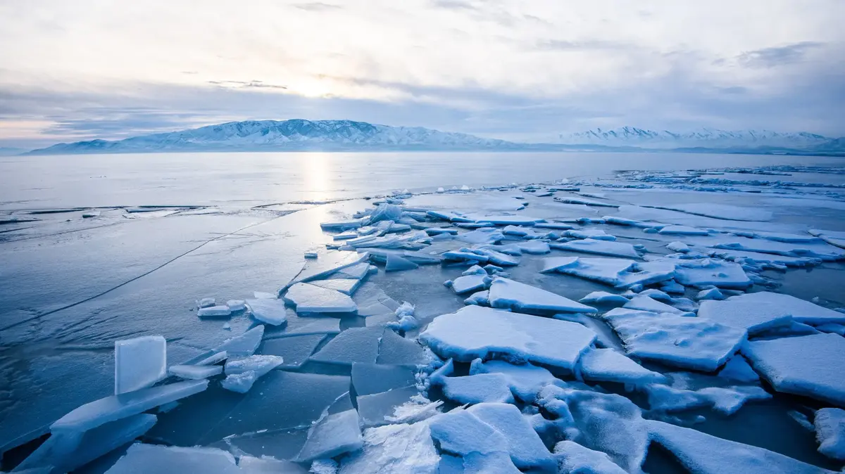
The jet stream is a band of strong winds at an altitude of about ten kilometers.
© Science Photo Library/imago
Spain and Portugal are suffering from an extreme heat wave.
The jet stream is currently showing a special phenomenon.
Researchers expect things to get worse in Europe.
Munich – Heat waves in summer are actually no reason to panic.
Extreme heat waves happen again and again.
But as early as June 2022, countries in Europe were groaning under two severe heat waves.
Temperature records were broken in France and Spain.
Now a merciless heat builds up again in the holiday countries.
The
jet stream
is partly responsible for this extreme weather situation.
The strong west wind band that determines our climate has changed.
And with dramatic consequences, as researchers have discovered.
Jetstream Cuts Low Off Portugal - Heatwave In Europe
"The anatomy of our impending heat wave," says Scottish weather expert Scott Duncan on Twitter.
A cut-off low west of Portugal is turning and intensifying heat over Morocco and the Iberian Peninsula, Duncan explains.
This low acts essentially like Europe's heat pump.
The weather expert also posts an animation of the jet stream.
The rotating low in front of Portugal and Spain can be clearly seen.
The jet stream wanders over the northern half of the globe.
The colors in the graph show the speed of the northern hemisphere high-altitude winds.
The ZDF meteorologist Özden Terli also shares the graphic on his Twitter channel.
“Cut off from the jet stream, the low off the Iberian Peninsula is turning and pushing the heat northward.
The weather conditions were already there in June,” writes the weather expert.
Born in Cologne, he often addresses the connections between weather and climate in his weather presentations on television.
"Because meteorology is the physics of the atmosphere, you cannot separate climate change from the weather," said Özden Terli in the
Merkur.de interview
.
The 51-year-old has many fans, but is also often called a "charlatan" or "propagandist".
Jetstream causes more extreme heat waves in Western Europe
The jet stream can blow across the globe at a height of ten kilometers at up to 500 km/h.
The strong wind band affects how fast high or low pressure areas move.
But the jet stream is changing, as an international team of researchers has found in a new study.
Scientists evaluated observation data from the past 40 years.
And the jet stream therefore plays an important role in the mega heat waves in Europe.
Heat waves over Europe increased three to four times faster than in the other northern central latitudes, such as in the USA or Canada, as the team led by Efi Rousi from the Potsdam Institute for Climate Research (PIK) reports in the journal
Nature Communications
.
According to the study, the extreme heat waves are related to double jet streams and their increasing duration over Eurasia.
Duplicate jet streams occur when a jet stream splits into two branches.
We expect this to get worse.
Efi Rousi from the Potsdam Institute for Climate Research (PIK)
also read
Terror Map: Expert makes forecast for August
Sky phenomenon "Supermoon" over Germany - Spectacle can also be seen in Bavaria today
“Summer heat waves are not a new phenomenon per se.
What is new, however, is that extreme heat events in Europe have occurred more frequently and more intensely in recent years.
Just think of the hot and dry summers of 2018, 2019, 2020 and the recent heat waves in Europe - and we expect it to get worse," Efi Rousi said in a statement.
Western Europe is particularly affected.
Jet stream creates extreme heat and blocks cooling from Atlantic
“In this region, which coincides with the exit of the storm track moving from the North Atlantic to Europe, the weather systems normally come from the Atlantic and therefore have a cooling effect.
However, when the double jet occurs, the weather systems are deflected northwards and sustained heat waves can develop over western Europe.” This is in contrast to other European regions.
According to the researchers, a possible explanation for the fact that double jets are so persistent is the increased warming of the high latitudes, especially over land regions such as Siberia, northern Canada and Alaska.
The temperature differences between land and ocean would favor persistence of double-jet conditions in summer.
Research is still needed, Rousi concedes.
However, the dual jet streams and their increasing residence times are key to understanding current and future heatwave risks over Western Europe.
The extreme heat in Spain and Portugal is expected to last until early next week.
It's also getting hot in Germany.
(ml)