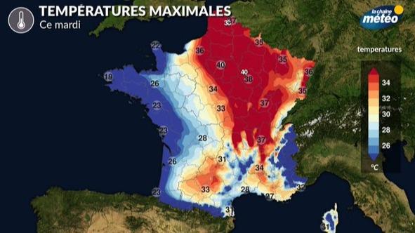
The extreme heat of recent days is shifting to the eastern half, Tuesday July 18.
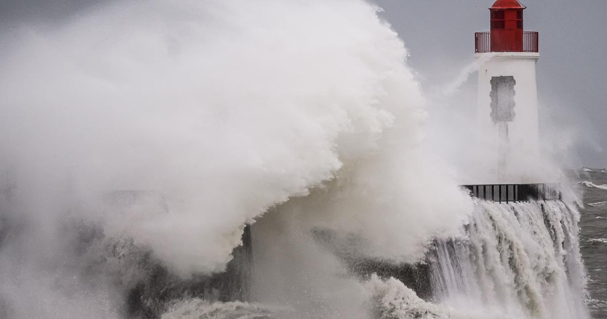
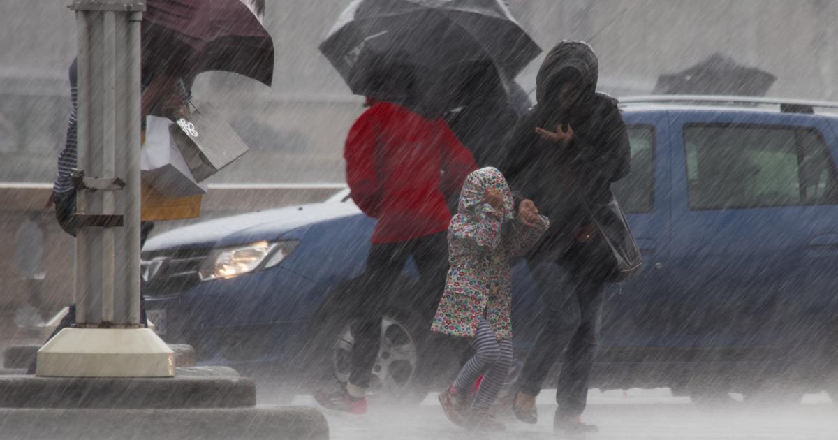
In the southwest, violent storms are likely to break out.
Until 6 p.m., fifteen departments remain on red alert (Charente, Charente-Maritime, Côtes-d'Armor, Dordogne, Finistère, Gers, Gironde, Ille-et-Vilaine, Landes, Loire-Atlantique, Lot-et-Garonne, Maine-et-Loire, Morbihan, Deux-Sèvres, Vendée), fifty-three departments are on orange alert and the rest of the territory is at “Significant risk”, according to
La Chaîne Météo
*.
Read alsoThe cities most threatened by the explosion in the number of days and nights of heat waves
The weather in your area
In
Brittany
, the sky is cloudy at the start of the day, with a risk of stormy showers.
The clouds disappear over the hours and the air is less heavy, thanks to a westerly wind.
The minimums remain high, even for the season, with 18 to 25°C but the maximum temperatures increase from 21 to 32°C.
From
Pays de la Loire
to
Nouvelle-Aquitaine
, the sky alternates between clouds and sunny spells but in the afternoon the sun shines generously?
The weather is more pleasant than the day before on the coasts, with a sea air which brings humidity and numerous cloudy periods.
The minimums are still high with 20 to 25°C but in the afternoon, the temperatures are between 23 and 36°C.
In
Normandy, Île-de-France
and
Hauts-de-France
, the weather is scorching, the maximum temperatures vary between 28 and 41°C from Cherbourg to Paris.
In
Auvergne-Rhône-Alpes
,
Bourgogne-Franche-Comté
,
Centre-Val de Loire
and
Grand-Est
, high temperatures are setting in, with many clearings and very high temperatures, they reach between 37 and 41°C in the region.
'afternoon.
In
Occitania
,
PACA
and
Corsica
, it is still hot, but the temperatures are more pleasant than the day before on the coast.
The maximums show 28 to 37°C.
*The Weather Channel is a property of the Figaro group.