
The extreme hot weather warning was cancelled at 9:45 am yesterday (30th) and lasted for 356 hours. The Observatory issued it again at 9:30 this morning (31st), and the "broken cable" was less than 24 hours old. The Observatory is expected to be hot for only a few days this time. To this Tuesday (August 2), there will be showers and thunderstorms from Wednesday (August 3).
The Observatory pointed out that including today, the headquarters recorded 21 extremely hot days with a temperature of 33.0 degrees or above, the most in a single month since records began in 1884.
The mid-term weather forecast issued by the Mainland's Central Meteorological Observatory this morning shows that the tropical disturbances in the South China Sea and the Northwest Pacific will become more active in the next 10 days, and one or two typhoons may be generated, which will bring wind and rain to the southeastern sea area.
▼July 26, the hot weather warning came into effect on the 12th day▼
+3
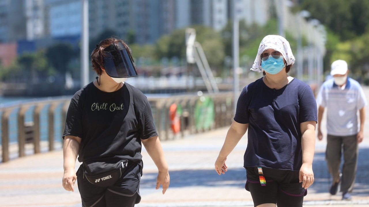
Sheung Shui and Ta Kwu Ling recorded a maximum of 37.1 degrees today (31st), over 36 degrees in Tai Long, Wetland Park and Yuen Long, and over 35 degrees in Wong Tai Sin, Kai Tak and Tseung Kwan O.
The Observatory updated the nine-day weather forecast at 4:30 pm. Tomorrow (August 1) and the day after (August 2) are still cool, with a forecast of a maximum of 34 degrees and 33 degrees respectively, with mild to moderate southwesterly winds.
Sometime heavy rain in the middle and late part of the week
However, the Observatory expects that the high-altitude disturbance will bring heavy showers and thunderstorms to southern China in the middle and late of the week. A broad trough of low pressure will bring unstable weather to the northern part of the South China Sea early next week. There will be showers and thunderstorms from Wednesday (August 3). Thunderstorms and rain are sometimes quite heavy, and the maximum temperature on Thursday and Friday (August 4 and 5) will drop to a "2-digit number", only 29 degrees.
There will be a short period of sunshine until next Sunday (August 7), and then it will get worse.
The Observatory issues another hot weather warning this morning
The extremely hot weather warning issued on the 15th of this month was cancelled at 9:45 a.m. yesterday, spanning the 16th day and lasting up to 356 hours, the second longest since the extremely hot weather warning was issued in 2000.
The Observatory issued another hot weather warning at 9:30 today, which is expected to remain at least until Tuesday.
The Observatory's headquarters recorded a maximum of 34 degrees today. The Observatory said that, including today, the headquarters recorded 21 extremely hot days with temperatures of 33.0 degrees or above, the highest number of days in a single month since records began in 1884.
▼The Observatory recorded a high temperature of 35.8 degrees on July 25▼
+8
Two tropical cyclones hit Japan and South Korea in recent days
Sustained high temperature is favorable for the formation of tropical cyclones. Recently, two (Sunda and Tris) have been or are predicted to hit Japan and South Korea.
The medium-term weather forecast issued by the Mainland Central Meteorological Observatory this morning shows that the high temperature intensity in the southern region has weakened, and the high temperature weather in the northern region will develop. Affected by precipitation from August 3, the high temperature weather in southern China and southern Jiangnan will be significantly relieved; however, in the next 10 days, the South China Sea And the tropical disturbance in the northwestern Pacific Ocean tends to be active, and one or two typhoons may be generated, bringing wind and rain to the southeastern sea area.
The Central Meteorological Observatory of the Mainland predicts that there will be heavy rain in southern China.
(Photo from the Mainland Central Meteorological Observatory)
The hot weather warning has been in effect for more than 335 hours. The Observatory expects heavy showers next week. The maximum temperature will drop by 5 degrees. The hot weather warning will continue to be in effect. There were heavy showers and thunderstorms. The Observatory cancelled the yellow rainstorm warning at 11:30 in the morning. The temperature in many areas dropped to 24 degrees in Tseung Kwan O.