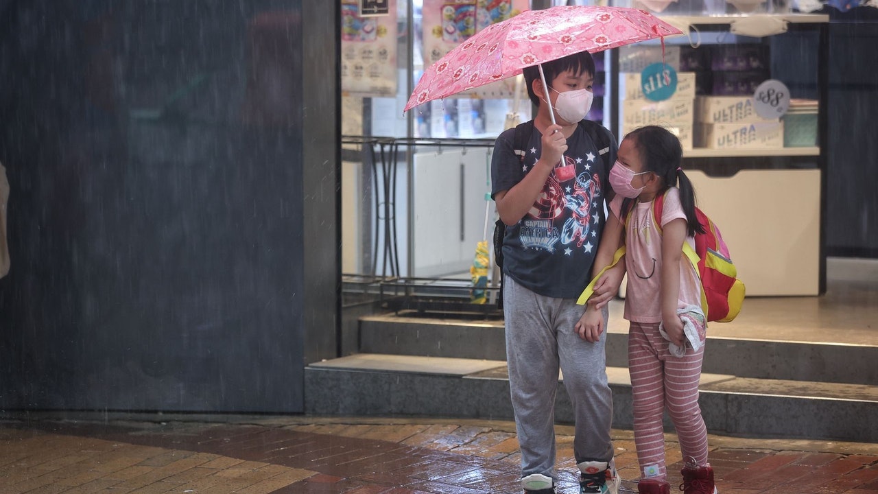
Today (4th), the Chinese Valentine's Day, an unknown tropical depression passed by Hong Kong and made landfall in the east of Hong Kong, but the weather in Hong Kong is still unstable.
The Observatory predicts that the tropical cyclone in eastern Guangdong will cross Guangdong today and gradually weaken. The associated squally, heavy showers and thunderstorms will affect southern China in the next one or two days.
At the same time, another low pressure area is expected to bring unstable weather to the South China Sea in the early to mid-next week, and may develop into a tropical cyclone, but its path and intensity are variable.
According to the 9-day Weather Forecast for Hong Kong of the Hong Kong Observatory, from next Tuesday (9th), winds of magnitude 6 will be blown off the coast, which will reach the level of No. 3 typhoon, and Hong Kong is also expected to have squally showers and thunderstorms. The rain is sometimes heavy.
Europe and the United States forecast that the low-pressure area generated next week will be very close to Hong Kong, and the US forecast is expected to make landfall in the Shanwei area, and the intensity is expected to reach the level of a severe tropical storm.
▼The Tanabata Typhoon Observatory has revised the forecast of the movement path of the tropical depression for many times▼
Today is the Chinese Valentine's Day, and an unnamed tropical depression suddenly approached, causing the Observatory to issue Typhoon No. 1 last night (3rd).
However, the Observatory pointed out that the tropical depression had made landfall on the coast of Huidong this morning and gradually weakened across Guangdong.
However, the outer rainbands associated with the tropical depression will continue to bring squally showers and thunderstorms to the coast of Guangdong today.
In addition to the tropical depression, the observatory is expected to generate another tropical cyclone next week.
According to the nine-day weather forecast, Hong Kong will be cloudy with squally showers and thunderstorms from next Tuesday, with heavy rain at times.
In terms of wind conditions, the east to northeasterly winds are generally 5 degrees, and the offshore winds are 6 degrees, that is, the level of the No. 3 typhoon.
▼The Observatory issued a yellow rainstorm warning on August 3▼
+3
The Mainland's Central Meteorological Observatory said that the center of the tropical depression in the South China Sea had landed on the coast of Huidong County, Guangdong Province at around 9:40 this morning, and the maximum wind force near the center was 6 when it made landfall.
At 10 am, its center was still located in Huidong County, Guangdong Province.
The Central Meteorological Observatory predicts that the center of the low pressure will move northwestward at a speed of about 20 kilometers per hour, and its intensity will gradually weaken.
▼European Centre for Medium-Range Weather Forecasts ECMWF forecast▼
▼US Global Forecast System GFS forecast▼
With reference to the forecast of the European Centre for Medium-Range Weather Forecasts (ECMWF), a low pressure area is expected to form in the south of the South China Sea next Monday (8th) and is expected to move northward. It will be closest to Hong Kong in the afternoon of next Wednesday (10th), about 100 degrees southwest of Hong Kong. Kilometers passed by and moved to the Yangjiang City area.
ECMWF predicts that the central pressure at sea level in this low-pressure area is as low as 995 hPa, which is only a tropical storm.
The U.S. Global Forecast System (GFS) predicts that a low-pressure area will form in the waters near the Philippines in the early morning of next Monday, and then rush towards Hong Kong. It will land in the area from Shenzhen to Shanwei in the early morning of next Thursday (11th).
GFS predicts that the low-pressure area will be stronger, and the central pressure at sea level will be as low as 986 hPa, which is a severe tropical storm.
▼At noon on July 2, Typhoon Siamba was closest to Hong Kong's Tsim Sha Tsui Pier and the wind was quite strong▼
+4
Where does the Tanabata tropical cyclone make landfall?
The Hong Kong Observatory said the tropical cyclone had made landfall on the coast of Huidong
What will be the weather in Hong Kong for the next nine days?
According to the nine-day weather forecast of the Hong Kong Observatory, it will be cloudy from August 9, with squally showers and thunderstorms, and the rain will be heavy at times (details)
Tanabata typhoon.
Latest | No. 1 typhoon maintained, Observatory considers 2-4 p.m. Tanabata typhoon | Observatory revised its forecast for eastward change to westward, the threat has greatly increased Latest or two typhoons swept across Victoria Harbour | Low air pressure recently hit Hong Kong on Thursday night|Mainland Meteorological Observatory highlights tropical cyclone path Road 50 kilometers northeast of the Observatory passed by the Observatory on Thursday, predicting that the summer heat will be extended to October due to global warming, resulting in high temperature and rainfall|The Observatory predicts the next two to three days Heavy showers and thunderstorms possible early next week or tropical cyclone


/cloudfront-eu-central-1.images.arcpublishing.com/prisa/3I74UEXLYRBBRPGPSGWNN6WXH4.jpg)