
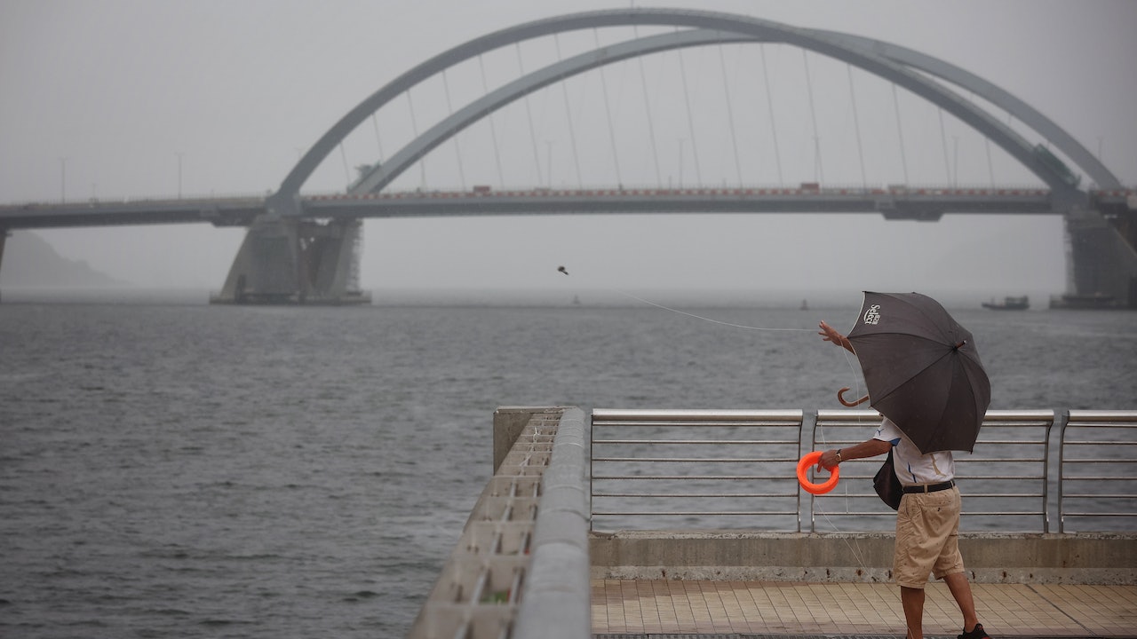
The weather in Hong Kong continues to be unstable. The Observatory today (6th) predicts that a low pressure area in the central part of the South China Sea will develop into a tropical cyclone early next week. The outer rain belts may bring squally heavy showers and thunderstorms to Hong Kong. The wind is quite strong, and the water level is expected to rise higher due to the storm surge. The public is urged to pay attention to the latest weather forecast and be prepared for wind and rain.
▼The situation under the tropical depression No. 1 typhoon on August 4▼
+4
High temperature cyclonic circulation in the South China Sea and weak vertical wind shear are favorable for the development of low pressure areas
The Observatory issued a new "Weather Essay" in the evening, pointing out that a low pressure is bringing unstable weather to the central part of the South China Sea.
At present, the temperature of the South China Sea is over 26 degrees, and the southwest monsoon affecting the central part of the South China Sea is expected to intensify early next week. After "fighting" the southeast airflow on the south side of the subtropical high ridge, a "cyclonic circulation" will occur.
The authorities continued to point out that due to weak vertical wind shear, the area of low pressure will develop into a tropical cyclone in the next two to three days.
Hong Kong has a chance of "wind and rain" next Tuesday to Wednesday
However, will the tropical cyclone eventually form a typhoon and hit Hong Kong?
The Observatory pointed out that the most likely scenario is that the tropical cyclone that may be generated will traverse the northern part of the South China Sea from next Tuesday to Wednesday and approach the coast of Guangdong. During the process, its outer rain belt will bring squally and heavy showers to the coastal areas. In the event of thunderstorms, Hong Kong may have a chance of "cross wind and rain". It is expected that the winds in the coastal areas of Guangdong will be quite strong, and there will be large waves and swells on the sea surface.
Higher astronomical tide level if tropical cyclone approaches water level or rises higher due to storm surge
In addition, the astronomical tide level in the middle of next week will be higher. If the tropical cyclone adopts a path close to the Pearl River Estuary, the water level in Hong Kong may rise even higher due to the storm surge in the middle of next week.
The Observatory stated that it will closely monitor the development of the low-pressure area and its impact on the weather, and reminded the public to pay attention to the latest weather forecast and be prepared for wind and rain.
▼The Observatory issued a yellow rainstorm warning on August 3▼
+3
Will a possible tropical cyclone "hit Xi"?
Observatory: There are variables
But will the upcoming tropical cyclone really "hit" Hong Kong?
The observatory "wears a helmet" and says that there are variables in its generation location, subsequent path and intensity changes.
According to the authority's path probability prediction map, the tropical cyclone has a high chance of moving to the west of Guangdong to Hainan Island, but the Observatory admits that the probability distribution is quite broad, indicating that its landing location is still variable, that is, whether it will eventually have a chance to blow To Hong Kong is still a question mark.
The Observatory continued to point out that various computer forecasting models also have different forecasts for the intensity of tropical cyclones.
The authorities explained that it is still a big challenge for computer models to accurately predict the nearshore intensification or rapid intensification of tropical cyclones. .
The Observatory has issued a special reminder that the thunderstorm area will affect Hong Kong in the next one or two hours. In the afternoon, there will be many areas of squally thunderstorms. Rainbows will appear. The Observatory expects a tropical cyclone to form in the central part of the South China Sea early next week. 8.9 squally thunderstorms will occur. The Observatory once issued a yellow rainstorm warning at 9:30 a.m.