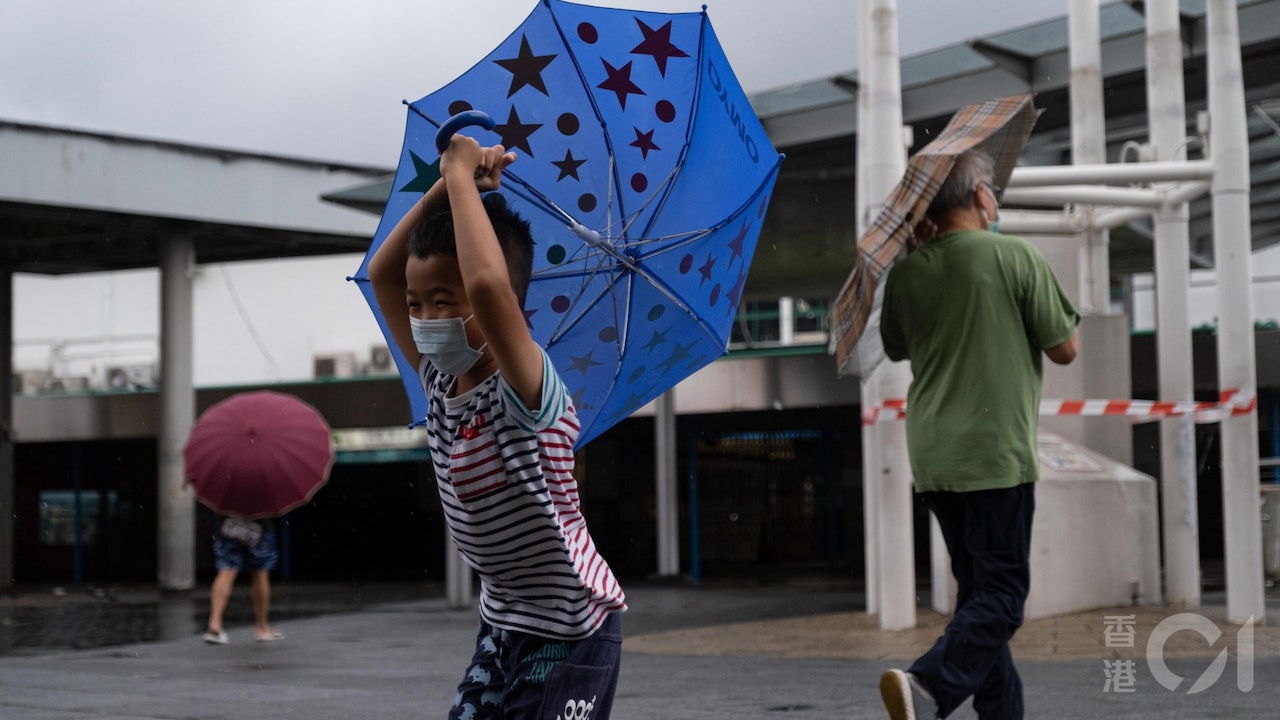
The weather in Hong Kong is unstable. The Observatory predicts today (8th) that the low-pressure area in the central part of the South China Sea will develop into a tropical cyclone from tonight to tomorrow morning (9th), and the No. 1 alert signal is considered tomorrow morning, when the wind will be quite strong and there will be strong winds Showers and thunderstorms, with swells on the sea, are expected to continue until early next week.
▼The situation under the tropical depression No. 1 typhoon on August 4▼
+4
The Observatory said that the low-pressure area in the central part of the South China Sea is currently about 800 kilometers away from Hong Kong, and its structure is relatively loose. According to the current forecast, the low-pressure area will gradually develop into a tropical cyclone from later tonight to tomorrow morning (9th), the Observatory said. , depending on its actual development and trends, it will consider issuing the No. 1 alert signal tomorrow morning.
Wide trough of low pressure affects weather instability
The Observatory also pointed out that the low-pressure area is expected to move to the area from western Guangdong to Hainan Island. Affected by its outer rainbands, it is expected to be quite windy tomorrow and Wednesday (10th), with squally heavy showers and thunderstorms, and there will be swells on the sea surface. Members of the public are reminded to pay attention to the latest weather news from the Observatory and to be prepared for wind and rain.
Strong winds reaching Typhoon Signal No. 8 off the coast and highlands on Wednesday
The Observatory looks forward to the weather for the next nine days. Showers and thunderstorms are affecting the coast of Guangdong and the northern part of the South China Sea. Hong Kong is generally cloudy with a few showers and thunderstorms. The temperature ranges from 26 to 31 degrees. It will affect the northern part of the South China Sea from late this week to early next week, and there are still showers in this area.
It is worth noting that the Observatory predicts that the easterly wind will be level 5 on Tuesday, the offshore wind will be level 6, and the highland will reach level 7 later.
On Wednesday, the east to southeast wind was 5, with 6 at the beginning, and 8 offshore and highland.
In other words, some areas of Hong Kong will be gusted by the winds of Typhoon No. 8 on Wednesday.
▼European Centre for Medium-Range Weather Forecasts ECMWF forecast▼
+1
▼US Global Forecast System GFS forecast▼
▼The Observatory issued a yellow rainstorm warning on August 3▼
+3
▼A moment of lightning beauty on the evening of August 2▼
+4
The Observatory expects the No. 1 typhoon to be issued as soon as possible later tomorrow, and the wind will cross the northern part of the South China Sea on Tuesday and Wednesday. The Observatory expects that the low-pressure area in the South China Sea will be upgraded to a tropical cyclone tomorrow or consider the No. 1 typhoon Weather Traffic | The highest temperature today is about 32 The Observatory expects a number of factors to be favorable for the rise of the low-pressure area. The tropical cyclone 8.9 is crossed and the Observatory issues a special reminder