
The Observatory stated that the low-pressure area in the central part of the South China Sea will intensify into a tropical cyclone. Depending on its actual development and trend, the No. 1 alert signal will be considered tomorrow morning (Tuesday, 9th).
The Macao Meteorological Bureau stated that the system had intensified into a tropical depression (tropical cyclone category 1), and the No. 1 typhoon was the first to issue at 7 p.m.
The Central Meteorological Observatory of the Mainland, the Macao Meteorological Bureau and the Japan Meteorological Agency have all issued a tropical cyclone forecast path map. It is expected that the tropical cyclone will move in a counterclockwise direction from the central South China Sea to the northeast to the waters east of Hainan Island, and then turn northwest to the Leizhou Peninsula in western Guangdong. Landed and kept a distance of 400 kilometers from Hong Kong.
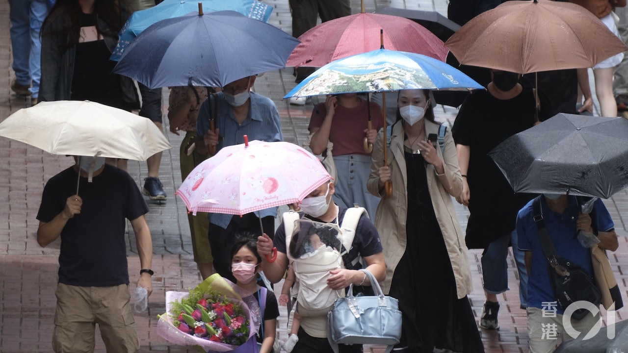
However, although the wind is far away, the wind in Hong Kong is not weak. The Observatory predicts that the easterly wind will blow at magnitude 5 (refreshing) in Hong Kong tomorrow, and the offshore wind will blow at magnitude 6 (strong wind). Later, the highland will reach magnitude 7 (strong wind).
That is, the wind force of the No. 3 typhoon (6 and 7), the next day (10th) will also be 6 in the early time, and the offshore and highland will reach 8 (gale), which belongs to the No. 8 typhoon.
▼The situation under the tropical depression No. 1 typhoon on August 4▼
+4
The Central Meteorological Observatory of the Mainland predicts that the tropical cyclone will move to the waters east of Hainan Island, and then turn northwest to land on the Leizhou Peninsula in western Guangdong.
(Photo from the Central Meteorological Observatory)
Mainland Central Meteorological Observatory predicts landfall in western Guangdong
The Observatory said that an area of low pressure in the central part of the South China Sea will gradually develop into a tropical cyclone from late tonight to tomorrow morning, and move towards the western part of Guangdong to Hainan Island, but its intensity is still variable, maintaining a distance of about 800 kilometers from Hong Kong at noon today , its structure is relatively loose, and depending on its actual development and trends, it will consider issuing the No. 1 alert signal tomorrow morning (9th).
The Observatory predicts that it is expected to be affected by its outer rainbands. It will be quite windy tomorrow and the day after, there will be squally heavy showers and thunderstorms, and there will be swells on the sea. The public is reminded to pay attention to the latest weather news and be prepared for wind and rain protection.
The Japan Meteorological Agency's forecasted tropical cyclone track map is similar to that of the Central Meteorological Observatory, but it is expected to make landfall in the northeastern part of Hainan Island and then again on the Leizhou Peninsula.
(Photo by Japan Meteorological Agency)
The Macao Meteorological Bureau expects flooding in the inner harbor area when it hits the astronomical tide
The Macao Meteorological Bureau announced at 5:40 p.m. that the broad area of low pressure in the central part of the South China Sea had developed into a tropical depression (tropical cyclone category 1), and the No. 1 typhoon was issued at 7 p.m. in advance.
The bureau predicts that the system will generally tend to the area from western Guangdong to Hainan Island in the next one or two days, and the associated rainbands will bring unstable weather to Macao. The wind will increase significantly during the day tomorrow, with heavy showers and thunderstorms. Today is the astronomical spring tide, and there will be flooding in the inner harbor area from the morning to the morning of the day after tomorrow (10th) to Thursday (11th).
The wind is blowing | The Observatory will hang the No. 1 typhoon signal as soon as tomorrow morning, the thunderstorm will continue to hit Hong Kong and the rain will continue until next week. Weather Traffic | Today is cloudy and there will be squally thunderstorms up to about 31 degrees. There will be showers and winds in the next few days. The typhoon signal No. 1 will cross the northern part of the South China Sea on Tuesday and Wednesday. The Observatory expects that the South China Sea low pressure area will be upgraded to a tropical cyclone tomorrow or consider the typhoon signal No. 1. The Observatory expects multiple factors to be favorable for the low-pressure area to rise. Tropical cyclone 8.9 will cross The Feng Hengyu Observatory issued a special reminder that the thunderstorm area will affect Hong Kong's afternoon squally thunderstorms in the next one or two hours


/cloudfront-eu-central-1.images.arcpublishing.com/prisa/3I74UEXLYRBBRPGPSGWNN6WXH4.jpg)
