
The Breton depression is heading towards the Mediterranean, while the Azores anticyclone is gradually swelling again from the west notes
L
a Chaîne Météo*
.
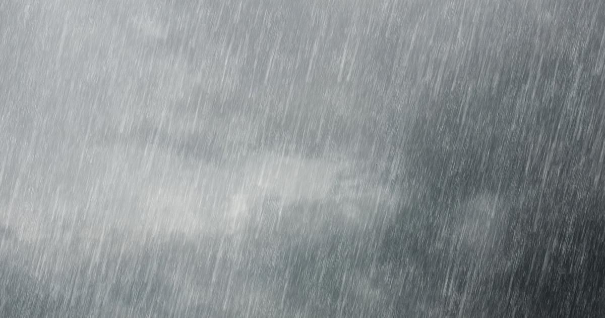
The stormy rains are triggered on the eastern facade and especially in the southeast, but they are less violent and numerous than the day before.
The sun returns from the west during the day and the temperatures rise.
Floods and flash floods of rivers and mountain streams are also to be feared in the
PACA region,
east of the Rhône and on the north of Corsica.
The violent rains cannot penetrate the soil and then run off quickly, which can cause "flash floods" that are dangerous for residents of these rivers and campsites.
These floods are a direct consequence of the recent drought which has hardened the ground.
The weather in your area
In
Brittany
,
Normandy
,
Centre-Val de Loire
,
Île-de-France
and
Hauts-de-France
, the maximum temperatures are between 21°C and 27°C.
In the morning, low clouds accompanied by mists and fogs are expected.
In the afternoon, clearings arrive, but watch out for a few threatening clouds which can locally bring a downpour.
The evening will be cloudy in
Brittany.
In
Bourgogne-Franche-Comté
and
Grand-Est
, instability is still present and the sky remains threatening.
Morning rains concern Alsace.
In the afternoon, showers are triggered mainly near the reliefs.
Maximum temperatures fluctuate from 23 to 26°C.
Read alsoFaced with heat waves, are thunderstorms inevitable?
In
Auvergne-Rhône-Alpes
,
PACA
and
Corsica,
the weather is dry and cloudy in the morning, a stormy episode affects the Côte d'Azur.
In the afternoon, the east of the Rhône and the Alps did not escape the stormy precipitation.
The maximum temperatures are between 24 and 29°C.
These storms cause accumulations of rain reaching 30 to 50 mm.
A situation similar to the accumulations noted on Wednesday.
In
New Aquitaine
and
Occitanie,
many low clouds are present in the morning.
Unlike around the Gulf where the Tramontana blows and clears the sky.
Heavy rains affect the Pyrénées-Atlantiques, they ease in the afternoon thanks to clearings on the Pyrenees.
*
The Weather Channel belongs to the Figaro group.


