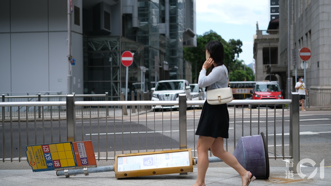
Severe tropical storm "Saddle" is approaching. The Observatory did not issue the No. 3 strong wind signal this morning (24th), but it has been predicted that it will be changed to No. 8 tonight.
Ma Saddle was threatening, and there were many cases of "extremely fast" intensification among tropical cyclones that hit Hong Kong in the past. Among them, the strong typhoon "Vicente" that hit Hong Kong in July 2012 quickly intensified within about 30 hours before approaching Hong Kong , it was upgraded from a tropical storm to a severe typhoon, and the Observatory also described the situation as unprecedented.
In addition, the typhoon "Hygoss" that hit in August 2020 also rapidly intensified from a low-pressure area to a typhoon within 24 hours. The Observatory even changed from the No. 1 typhoon to the No. 9 typhoon in less than 22 hours, at 40 The fastest record of the year.
The tropical cyclone that rose from the No. 1 typhoon to the No. 9 typhoon in the shortest time in history was an unnamed typhoon in September 1949, which lasted only 13 hours and 15 minutes.
▼At noon on August 24, the "Saddle" approached the Observatory and issued the No. 3 typhoon▼
+1
The Observatory announced that Typhoon Signal No. 8 will be issued at or before 7:25 pm on August 24, and local winds are expected to intensify rapidly.
(Photo from the Observatory)
The Observatory said that at 4 p.m., the saddle was assembled about 360 kilometers southeast of Hong Kong, and was expected to move west-northwestward at a speed of about 25 kilometers per hour, generally moving toward the western coast of Guangdong.
The Observatory also predicted at around 11:00 this morning that the wind will intensify rapidly after nightfall tonight, and will consider changing the No. 8 Gale or Storm Signal between 6:00 and 9:00 pm.
The Observatory also predicted that Ma'an will intensify into a typhoon at 2 pm tomorrow (25th).
Vicente's rapid enhancement of the Observatory closest to Hong Kong described as unprecedented
Looking through the data, there are precedents for the rapid intensification of tropical cyclones hitting Hong Kong in the past.
During the strong typhoon Vicente that hit Hong Kong in July 2012, the Observatory once issued the Hurricane Signal No. 10.
The Observatory said that Vicente's movement path in the South China Sea was quite unusual. It initially took a westward path and stayed about 350 kilometers south-southeast of Hong Kong for about 15 hours from July 22 to 23, and then moved northwestward toward South China coast.
Vicente intensified rapidly 48 hours before the closest approach to Hong Kong, from a tropical storm to a severe typhoon.
The Observatory further described: "Such rapid intensification is unprecedented for the above-mentioned tropical cyclone."
▼Strong Typhoon Vicente hit the port in July 2012▼
Hato rises to three levels within 27 hours
In addition, the super typhoon "Hato" in August 2017 also caused the Observatory to issue the Hurricane Signal No. 10, which was the first tropical cyclone to issue the highest-level tropical cyclone warning since the aforementioned Vicente.
The Observatory said that due to the higher than normal sea temperature in the northern part of the South China Sea, Hato significantly intensified during its passage across the northern part of the South China Sea. After rising to a severe tropical storm on August 22, it developed into a super typhoon in the waters south of Hong Kong on August 23. , and upgrade to four levels within 27 hours.
▼Hato's path▼
Typhoon Higoss, which hit in August 2020, is also "rising rapidly".
The Observatory pointed out that Hygoss rapidly intensified from a low-pressure area to a typhoon within 24 hours, and it was only about 80 kilometers away from the closest approach to Hong Kong, which required the Observatory to issue the No. 9 gale or storm wind intensification signal, describing Hygoss: "It intensified faster than expected. , and it was closer than expected.”
Hygos 1 rose to typhoon 9 in about 22 hours. In 1949, there was a nameless wind that was faster.
The time between Hygos's No. 1 typhoon signal and No. 9 typhoon signal issued by the Observatory was only 21 hours and 50 minutes, the fourth shortest on record.
The shortest time from the No. 1 typhoon to the No. 9 tropical cyclone in history was an unnamed typhoon in September 1949.
In 13 hours and 15 minutes, the typhoon caused the Observatory to change from Typhoon Signal No. 1 to Typhoon Signal No. 9. The typhoon passed 70 kilometers south of Hong Kong that year, causing one death and three injuries.
▼August 24th, Liyumen shops will pile up sandbags for waterproofing at noon▼
+3
Saddle typhoon | Precautionary measures Lei Yue Mun shops start stacking sandbags at noon for waterproof immersion saddle typhoon | Xinghua Village wind enhancement staff install waterproof gates before the No. 8 typhoon strikes to prepare for the saddle typhoon | Storm surge hits 26 high-risk low-lying areas in Hong Kong Click to list the saddle typhoon in the center of Yuen Long | Anti-epidemic Hotline No. 8 is suspended after wave 8, and the Civil Affairs Department urges quarantined people to seek help as soon as possible for the saddle typhoon |


