An anticyclone is centered off the coast of Norway and a depression rises towards the Bay of Biscay, announces
La Chaîne Météo
*.
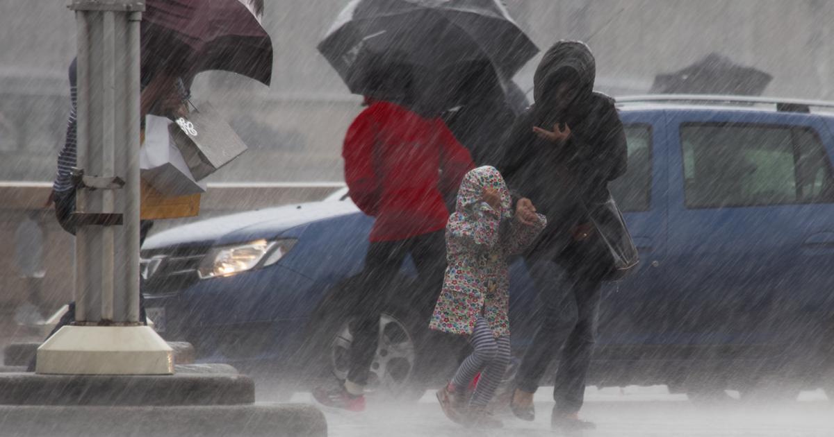
France being at the crossroads of these two influences, the weather is unpredictable on the territory with a dry and fresh wind from the northeast sector in the Channel and unstable upwellings on the southern half.
The heat is therefore often heavy in the West and South and certain areas are threatened by strong thunderstorms at the end of the day, such as the Center-East.
Read alsoIn the United Kingdom, heat and drought cause a “false autumn”
The weather in your area :
Brittany
and
Pays de la Loire
are
waking up to an unstable sky with stormy clouds and showers.
The weather is clear in the afternoon in Brittany while the Loire Valley can still see a few showers.
The maximum temperatures are between 21 and 31°C.
From
Normandy
to
Île-de-France
via
Hauts-de-France
, the sky is often cloudy but gives way to beautiful clearings.
A few showers are possible in Normandy in the afternoon.
Maximum temperatures range from 20 to 29°C.
Likewise in the
Grand-Est
region and in
Bourgogne-Franche-Comté
, with a cloudy sky in the morning followed by unstable weather during the afternoon and potential thunderstorms, particularly east of the Saône.
The maximum temperature is 31°C.
In
Auvergne-Rhône-Alpes
, the sky is threatening in the morning with already a few showers or thunderclaps.
In the afternoon, thunderstorm activity continues and intensifies and strong thunderstorms break out locally.
The maximum temperatures are down with 25 to 31°C.
The high temperatures are entrenched in the lower Rhone Valley.
In
PACA
,
Corsica
,
Occitanie
and
Nouvelle-Aquitaine
, the sky is more unstable in the morning from the southern Alps to Corsica, but the sun dominates.
The low clouds present in Aquitaine at the start of the day are gradually dissipating to let the good weather settle in, except on the Massif Central and the Alps where thunderstorms are breaking out.
Temperatures remain very high with highs between 28 and 34°C.
*The Weather Channel is a property of Le Figaro