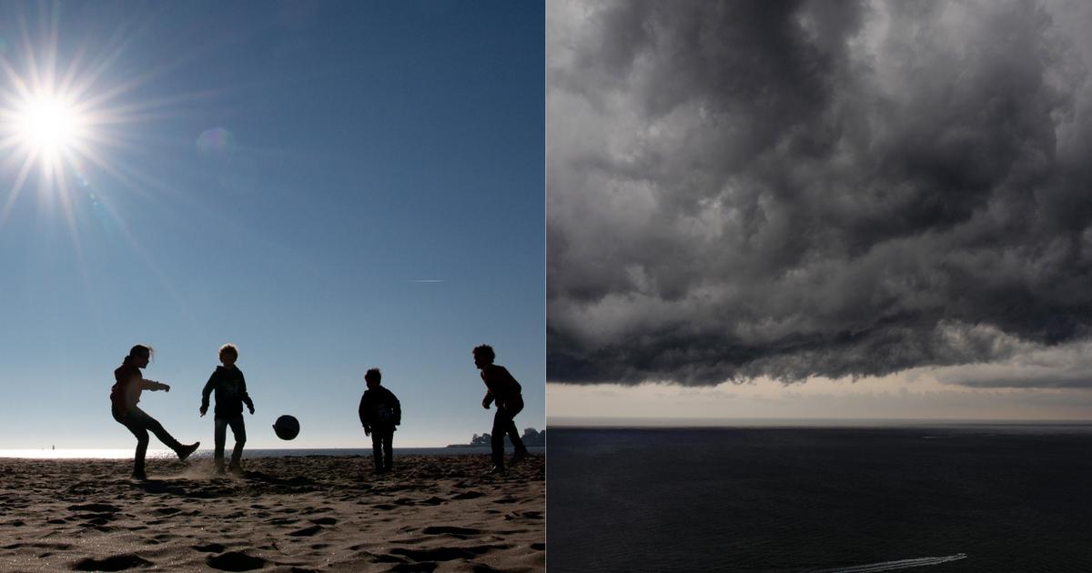
There was no cooling in mid-September.
The Observatory predicted today (19th) that the weather will be very hot in the afternoon, with showers and thunderstorms in some areas. The temperature will hover between 27 and 32 degrees in the next 9 days. It will be cloudy and rainy at the beginning of next week, and the humidity will be as high as 95%.
The Observatory also pointed out that a broad area of low pressure will bring unstable weather from the northern part of the South China Sea to the Luzon Strait early next week.
The Central Meteorological Administration predicts that in the next 10 days, one or two typhoons may be generated in the northwestern Pacific Ocean and the South China Sea.
▼September 18th, sudden changes in the weather, thunder and lightning ▼
+11
The Observatory predicts that there will be sunshine and extreme heat for a short time this afternoon, with showers and thunderstorms in some areas. It will be mostly cloudy tonight with mild to moderate westerly winds. It will be quite windy tomorrow and Wednesday with a few showers, and there will be sunshine for part of the next two or three days. .
The Observatory looks forward to the next 9 days, the temperature will range from 27 to 32 degrees, and there will be showers in some areas with occasional sunshine. The rain will increase early next week, and it will be mostly cloudy with a few showers.
The Observatory's weather forecast for the next 9 days.
(Screenshot of the Observatory's website)
Wide area of low pressure brings unstable weather to northern South China Sea
The Observatory pointed out that the weather in southeastern China is generally good, but the showers are affecting the western coast of Guangdong and the northern part of the South China Sea. Replenishment will affect southern China towards the weekend.
The Observatory also pointed out that a broad area of low pressure will bring unstable weather to the northern South China Sea to the Luzon Strait early next week.
In addition, tropical cyclone Nanma will cross the coast of Honshu, Japan today and tomorrow, and gradually evolve into an extratropical cyclone.
▼September 16, the air pollution was serious, and the Victoria Harbour was gray▼
+21
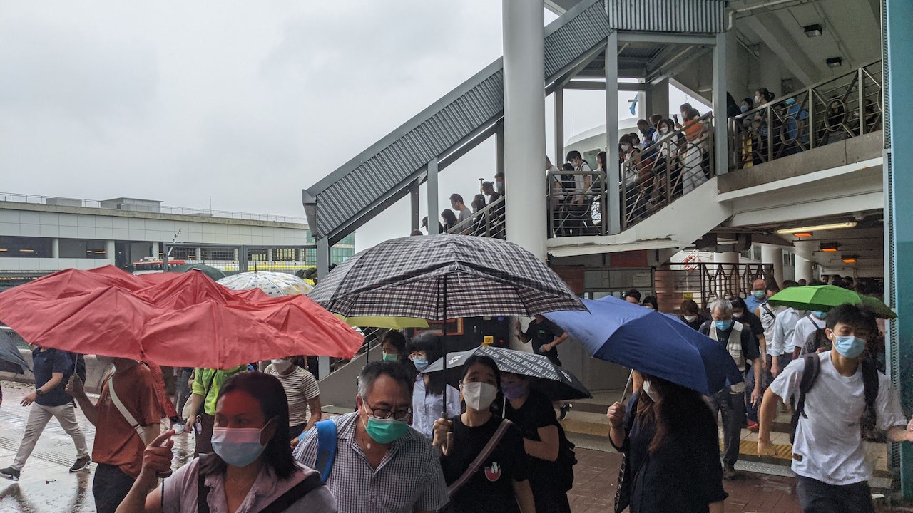
Weather and Traffic|The highest temperature today is about 33 degrees, there are a few showers and strong winds, thunderstorms, strong gusts in summer, and a canoe overturned accident in Sai Kung. Leung Wing-wu explained the reason for the sudden change in the weather. The continuous observatory is expected to reach a maximum of 34 degrees today and the temperature will drop to 31 degrees next Wednesday