
(CNN) --
It's hard to know where to start this morning.
I have been reflecting all weekend, and my heart is heavy for the people of Florida.
Many will take years to get their lives back to a point where they resemble what they were before.
Hurricane Ian was one of the biggest and most impactful hurricanes I have covered in my nearly 20-year meteorological career.
https://dynaimage.cdn.cnn.com/cnn/animations/org/221003113252-desktop-nhc-forecast-tracks-loop.mp4
I may never see another comparable cyclone again, at least I hope so.
Florida faces 'emotional roller coaster' as search for Hurricane Ian survivors continues and death toll mounts
I spoke with Robbie Berg, a National Hurricane Center forecaster who did many of the forecasts for Ian and who has worked through the hurricane with similar fear.
"I'm one of the forecasters who does the forecast directly. It's a different kind of devastation, because you put all your effort into communicating what could happen based on the forecast, and you know what could happen if that forecast comes true," Berg said.
advertising
The National Hurricane Center has worked tirelessly to issue the best forecasts and has done so with incredible accuracy.
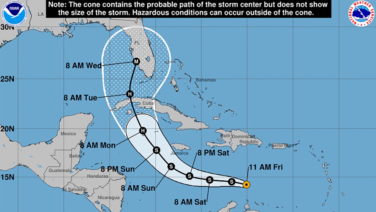
According to CNN meteorologist Brandon Miller, the place where Ian made landfall, Cayo Costa, was in the forecast cone of all forecasts.
Miller also noted that the forecast pegged Ian's landfall (as a major hurricane too) within 5 miles of its eventual location 120 hours in advance, which is pretty remarkable considering how unreliable forecasts can be. to five days and longer term.
But we know that the cone, by definition, does not include the impacts, but only where the center of the cyclone will be.
With Ian, as with many cyclones, impacts are felt well beyond the center.
"You have to look at the cyclone as a whole. What's the risk of it getting a lot of rain? Or, what's the risk of getting a strong wind or storm surge?"
Berg said.
"We're really trying to get the message down to what's really more important, regardless of whether the cone is moving a little bit or the acceleration or deceleration, you know? Which is what most people need to be aware of." with the cyclone?
Ian left a trail of destruction from the Caribbean to the Carolinas: this is the summary of victims, places affected and costs
With Ian, it is clear that the impacts were the storm surge and the rain.
The size and power of this storm pushed a wall of water onto the vulnerable, low-lying coast of southwestern Florida, and it had a long range, far from where the eye came ashore.
And the rain that accompanied this slow-moving hurricane was historic.
Ian's impacts were recorded for posterity
For perspective on rainfall and freshwater flooding: Since 2005, Ian ranked 3rd in AREA coverage of 10" or greater for a 24 hour period. This ranks behind Harvey's Day 3 and 2 in TX/LA, respectively, and just a bit more than Matthew's 2nd Day over the Carolinas pic.twitter.com/5ImCYW1Rf6
— NWS Weather Prediction Center (@NWSWPC) October 3, 2022
Ian ranks third in the amount of rain that fell within a tropical system.
Harvey ranks number one and two for the two days of rain that fell over Texas in 2017.
Berg explained that in Ian's case, his confidence in the intensity of the cyclone was very high.
They knew it would become a major hurricane in the Gulf, and it did.
However, knowing his trajectory for sure was somewhat more complicated.
"Track forecasts, in this case, were a bit more difficult. But these kinds of forecasts are always difficult when you're dealing with a cyclone that runs parallel to the coast. Landfall can be over a very wide area." just based on the angle of approach of the hurricane to the coast," Berg explained.
Berg has been working as a forecaster at the hurricane center for 20 years.
You know that the forecasts you make have a huge impact on people's decisions and how the impacts are interpreted.
"When you write those discussions, a lot of people go through them very carefully, to get the messages. You have to make sure that what is said is clear, makes sense, and conveys the most important points, because everything that is said in those discussions not only people will not read, but it will be amplified and the media, or their users, will share it," said Berg.
"We are setting the tone and the message of these events."
Now, he is reflecting on what happened during Ian as much as all of us.
"It's very hard to hear the stories and see the images from Southwest Florida and other areas affected by Ian, but those very stories and images are what make us ask, 'What can we do better next time?'"
Ian's moisture continues to cause problems in the Mid-Atlantic
Ian isn't going to just disappear.
He is partly responsible for what is happening in the Mid-Atlantic this week.
There is a stationary low pressure area just off the coast of the Mid-Atlantic states that will keep breezy and wet conditions going into the week.
"The heaviest rainfall will be concentrated around the Chesapeake Bay, east of the Delmarva Peninsula, with totals over the next two days around 25-50mm overall, and locally totals greater than 76mm," he said. the Weather Prediction Center.
Here's what we're anticipating for today.
You can find your current forecast at https://t.co/ka2HFuJBgt #PAwx #NJwx #DEwx #MDwx (2/2) pic.twitter.com/QBdl52004o
— NWS Mount Holly (@NWS_MountHolly) October 3, 2022
This push from coastal winds is causing flooding for more than 20 million people from Long Island to the island chains of North Carolina's Outer Banks.
This Monday is expected "potentially one of the highest tides in the last decade," according to the National Weather Service in Wakefield, Virginia.
Some towns around Hampton Roads and Virginia Beach could see major flooding and their highest water levels in 5 to 10 years, according to the NWS.
The reason for this excessive coastal flooding is a combination of the coastal low pressure system and the moisture Ian left behind.
A strong area of high pressure is found around the Great Lakes, so high pressure and low pressure work together to produce extremely windy conditions.
A dozen gauges are expected to register flood levels at high tide Monday afternoon off the coast of Virginia, Maryland and North Carolina.
The water is expected to reach 0.6 to 0.9 meters above ground level in some areas.
"Severe flooding will spread inland from the coast and coastline, inundating homes and businesses, and isolating some neighborhoods. Numerous roads will be impassable under several inches of water and [possibly] submerge vehicles," the NWS added.
Strong wind and wave advisories have also been issued across much of the region, with wind gusts of up to 80 km/h and waves of between 2.5 and 3.5 meters hitting the coast.
Flooding will peak this Monday afternoon at high tide, but with the coastal low expected to hold, the threat of flooding will continue through Tuesday.
-- CNN Meteorologists Monica Garrett and Dave Hennen contributed to this report.


