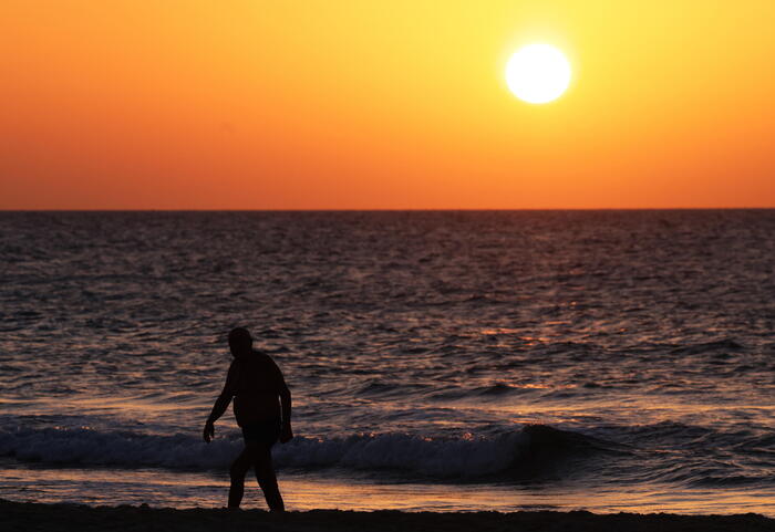
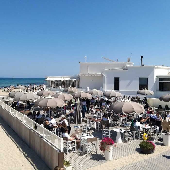
The week promises to be sunnier than expected.
First forecasts announced blue skies over a large part of the country mainly until Wednesday.
The latest forecasts announce a continuation of this situation.
The weather should not change too much before the beginning of next week, according to Météo France.
Only a few localized and occasional showers are likely to occur, especially Wednesday evening and Saturday, in the northern part of the country.
This Tuesday, like Monday, fog sometimes dense and dangerous for traffic has formed.
The weather channel explains that it is the result of an anticyclone between the Azores and central Europe.
It causes a temperature difference with the air mass of the previous days.
At the same time, it causes "sunny and mild afternoons".
This is a classic situation for the season that this weather specialist qualifies, ironically, as being that of clouds which he baptizes “stratus pourritus”.
Pressure gradient released under Anticyclone = weak air mixing = significant cloudiness = the "stratus rot" season opened in October.🤢 Slow evolution in certain regions?
(already the case yesterday) pic.twitter.com/t6UBQGV5FY
— Philippe 69 (@SkyPhilippe) October 4, 2022
Unlike Monday, the sun breaks through the clouds on Tuesday, including in northern France.
Météo France explains that temperatures will reach summer values in places.
"This afternoon, the highs reach 17°C to 22°C from the northern borders to Brittany and Bourgogne-Franche-Comté, 20°C to 25°C from Pays de Loire and Poitou-Charentes to Auvergne Rhône-Alpes, 22°C to 27°C in the south, locally 28°C towards Roussillon.
»
Lack of rain remains a problem
On Wednesday, the situation will remain similar.
In the South, the thermometer will sometimes rise a little more.
Temperatures should drop a little the rest of the week, but the sun should largely dominate throughout the country.
If the sun and mild temperatures will delight some, the lack of rain remains a problem.
While the last few weeks have improved the situation on the front of the country's historic drought, the deficit remains marked.
This map of the prefectural restrictions in force, updated on Tuesday, testifies to this.
Propluvia
The restrictions are all the more important as the color turns red.
In gray are the areas that are on alert.
Those in white are not subject to special monitoring.
Rain therefore remains necessary in most of the country.


