

Damascus-SANA
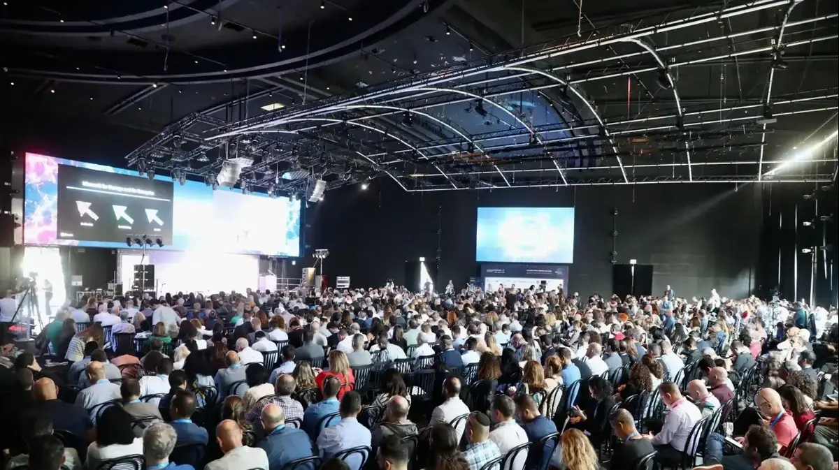
At the conclusion of the work of the Second International Scientific Conference on Intelligent Spatial Planning and Urban Data Management, which was organized by the Higher Institute for Regional Planning over two days in the Reda Saeed Conference Hall at the University of Damascus, the participants stressed the need to enact laws and legislation compatible with smart planning to protect land uses and limit infringements, especially on agricultural and forest lands. .
The participants pointed out the importance of smart spatial planning to reduce random urban sprawl on urban fringes, according to long-term studied methodologies.
The participants recommended the need to provide digital maps with a spatial reference, to facilitate analysis and increase the accuracy of identifying the possibilities and obstacles of urban expansion in cities, and the need to rely entirely on digital data science, and put it at the disposal of planners, noting the need to strengthen the infrastructure for smart planning through the establishment of a social urban observatory. A comprehensive environmental economics of the city, linking the observatory with the intertwined departments in the city, as well as developing a response strategy using modern technologies, such as fuzzy modeling to measure the risks resulting from transportation, pollution, etc., and the emergency intervention policies compatible with it.
They called for the necessity of encouraging the private sector to restructure and organize its institutions, and to integrate into large entities (shareholding companies) capable of international competition and to engage in large investments, and to promote a culture of partnership between the private and public sectors.
The participants also called for the application of a digital map and then a comprehensive monitoring network with communication networks compatible with monitoring media, GPS devices and software algorithms to choose the optimal path for the intelligent transportation system, as well as digital intervention and sharing of smart data with urban communities in areas that are beginning to recover from the effects of the war. Develop an appropriate strategy and understand the transformation mechanism according to natural, human, economic and technical capabilities.
The participants also stressed the need to develop scientific research (the reality of vocational education in Syria and how to develop it using artificial intelligence), to be in partnership with the Ministry of Education to develop a national strategy for the development of vocational education in Syria.
The conference was launched yesterday, with the participation of Arab and foreign researchers, with the aim of providing exceptional value to students, academics and researchers in spatial planning at all levels.
indian helena
Follow Sana's news on Telegram https://t.me/SyrianArabNewsAgency


/cloudfront-eu-central-1.images.arcpublishing.com/prisa/KMEYMJKESBAZBE4MRBAM4TGHIQ.jpg)


