Be careful on the road this Wednesday, December 14 in the morning between Brittany, Normandy, Île-de-France and the Grand Est, announces the Weather channel.
We expect between 2 and 5 centimeters of snow from Brittany to the northeast of the country, before temperatures that do not exceed 2 degrees in these regions.
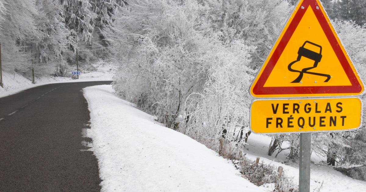
In question, a conflict of air masses, between the mild ocean air and the cold Scandinavian air which is placed above France.
Disturbances from the Atlantic cross the country and give rise to episodes of snow and freezing rain.
21 departments are on orange alert.
The South nevertheless benefits from a sharp rise in mercury, with temperatures between 7 and 18 degrees.
The weather in your area
In
Brittany
and
Pays de la Loire
, some freezing rain still occurs in the morning, even a few flakes in northern Brittany.
In the afternoon, a new rainy-snowy passage is expected.
It is cold and the north-easterly wind increases to 70 km/h.
Temperature forecasts are between -1 and 13°C.
In
Normandy
,
Île-de-France
and
Grand Est
, snowfall is expected in the morning.
It is sometimes freezing rain that falls on the south of the area.
In the afternoon, after a lull, a new salvo of snow is expected in the West.
We expect a layer of snow of 1 to 5 cm on average, on the Normandy hills and the Lorraine plateaus.
It does not thaw all day and this snow, generally light, sprinkles the landscape.
In
Hauts-de-France
, the sky remains white all day with a risk of a few snowflakes, mainly south of the Somme.
A pale sun breaks through near Belgium.
Read alsoUnited Kingdom: many flights canceled at London airports due to snow
In
Burgundy-Franche-Comté
and
Centre-Val de Loire
, an episode of freezing rain is expected in the morning north of a line drawn between the cities of Bourges and Dijon.
In the afternoon, the feeling remains cold and wet but the temperatures rise above 0°C, with still a risk of ice along the Loire.
A large temperature difference will be observed between the north of the Loire and the south of the river, sometimes going from 2° to 10°C in less than 40 km.
It can be up to 11°C in these regions.
In
Auvergne-Rhône-Alpes, PACA
and
Corsica,
the sky is very cloudy in the morning.
A fairly weak rainy period crosses from West to East in the afternoon.
Heavy rains are nevertheless expected on the Island of Beauty.
The sky is very rainy in the morning in
New Aquitaine
and
Occitanie.
A lull occurs at midday, with temperatures that can reach 18°C.
The sky will be snowy again later in the week: heavy stormy rains will affect the south-east and especially the Mediterranean.
The weather channel is a property of the Figaro group.