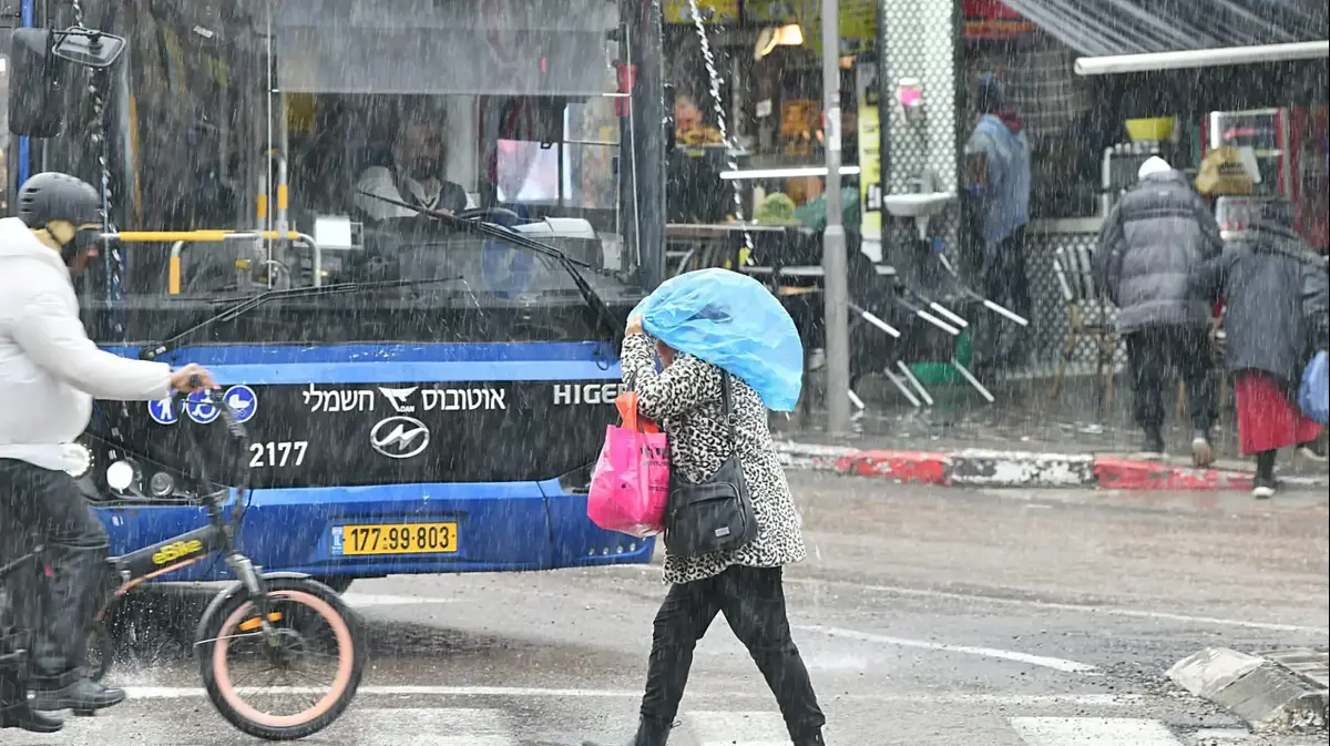
The prevailing anticyclonic weather in Spain will continue for the rest of the week, days in which clear skies, the absence of rain, abundant inland fog banks and temperatures slightly above normal will be the usual tonic, only broken due to the passage of fronts through the northwest of the peninsula that will leave rainfall in Galicia.
However, as of Sunday, the State Meteorological Agency (Aemet) warns of a significant change in weather, nothing less than the arrival, finally, of the winter atmosphere, after a month of December that has been extremely warm, the worst since there are unified and reliable records for the whole country.
"The anticyclone will retreat towards the Atlantic and a corridor of cold and humid winds from the northwest will be created that will affect Spain, generating a winter environment",
More information
Winter refuses to reach the mountains: ski resorts and hotels suffer from a shortage of snow
Thus, the wind will blow intensely in the north of the Peninsula, temperatures will drop in general and there will be rainfall in a good part of the Peninsula and snowfall in the mountains, with the most abundant rains and snowfalls in the northern third ―Galicia, communities Cantabrian, north of Castilla y León, La Rioja, Navarra, north of Aragon and north of Catalonia.
The Canary Islands will remain out of the episode.
Although there is still some uncertainty in the forecast, the storm could last two or three days, "until Tuesday of next week."
In any case, it is not an exceptional snowfall, emphasizes Del Campo, but "a completely normal winter situation for this time of year."
If Aemet warns, it is because "throughout this winter there has been practically no entry of cold air, except at the beginning of December, that has been extraordinary".
The change in weather will begin on Sunday, when the high pressure will gradually recede from the Peninsula towards the Azores, where it will strengthen.
"From that position, and together with a storm that will be located in northern Europe, a corridor of northwesterly winds will be generated that will drag a mass of very cold and humid air to Spain," Del Campo describes.
Thus, that day there will be rain and showers in the north of the peninsula, more abundant in the Bay of Biscay and in the form of snow in the mountains.
The height could drop to 800 meters in the northern third.
Cold but not cold snap
Temperatures will drop throughout the country, except on the Mediterranean coast, a thermal drop that will continue on Monday.
"Between Sunday and Monday, they will drop between 5° and 7° in a general way, with slightly lower values than normal, between 1° and 3°, therefore, it will be cold, but it will not be a cold wave," he notes. Of the Field.
Both Monday and Tuesday, abundant rains are expected in the Bay of Biscay and snowfall in the mountainous systems, especially in the Cantabrian mountain range, the western Pyrenees and the north of the Iberian system, where the elevation may occasionally drop below 800 meters.
#ACTUALIZACION❄️ Starting Sunday it may snow.
In the afternoon it will not only be possible in the north but also in high areas of the center.
They will continue to pack inches of snow in the north as the week begins.
Good thicknesses in the Picos de Europa and Huesca Pyrenees.
pic.twitter.com/dyULYe1VLT
— Irene Santa (@IreneSanta_) January 11, 2023
"The most significant snowfall will occur in the Cantabrian mountain range and areas of the Navarrese and Aragonese Pyrenees", details the Aemet spokesman, who celebrates this "good news after we have practically reached the equator of winter with very little snow in the mountains" .
Regarding thicknesses, Del Campo calculates that in both areas "precipitation in the form of snow may exceed 40 liters per square meter between Sunday and Tuesday", which is
roughly
equivalent to 40 centimeters of snow, although the equivalence is not It is exact, since the accumulations depend a lot on the wind, the temperature, the humidity... In short, "the Pyrenees and the Cantabrian mountain range are going to receive a good snowfall, probably the most abundant this winter."
In addition, it could rain both days, although weaker, in other parts of the Peninsula, and there will be snowfall in the rest of the peninsular mountain systems, but weaker than in the mountains of the northern third.
Will it snow in cities?
At the moment, Aemet is prudent when specifying, because although "the level is low, the greatest snowfall is expected in the mountains."
What is practically ruled out is that it snows in the capital Madrid.
“With the models in hand, the probability of seeing a snowflake on Monday in the city environment is less than 10%, and that it sets, practically nil.
The northwest situations that lead to the capital are dry cold and windy”, says Del Campo.
As of Tuesday, uncertainty increases, but it is possible that temperatures will rise and, with it, the level.


/cloudfront-eu-central-1.images.arcpublishing.com/prisa/S7EEXKSOAFNC5GML424T7A7DFY.jpg)