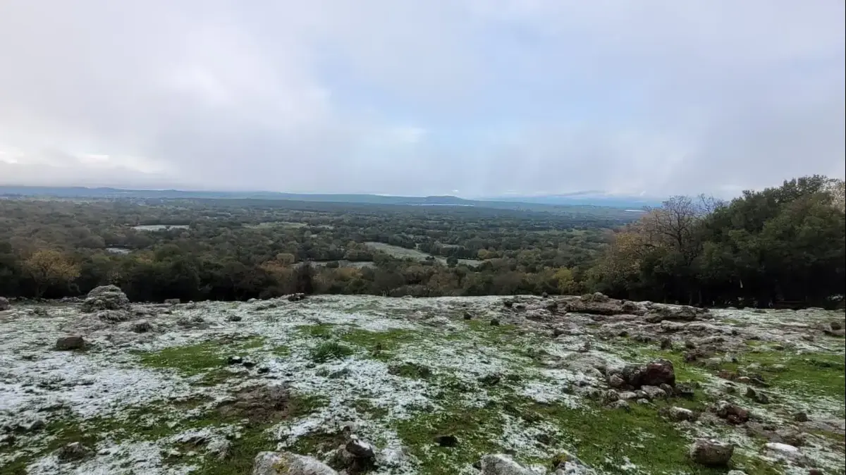
The morning frost will again be present in every corner of France this Monday, January 23.
The cold will remain biting, with temperatures 5°C below normal, and snow will fall at the end of the day on the Alps.
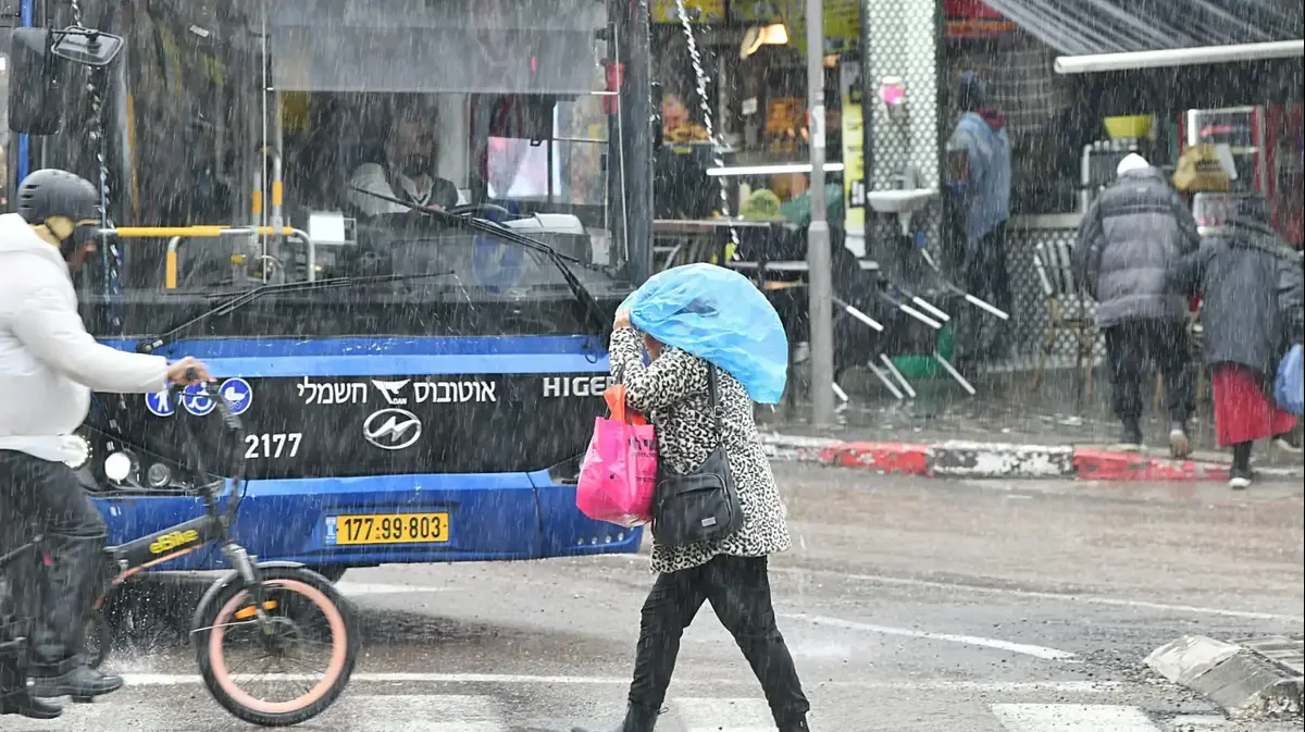
Finally strong winds will cross the coast of the Côte d'Azur in the night.
The sun will eclipse from the Atlantic and North-West regions to give way to clouds after a sunny weekend, according to La Chaîne Météo*.
The weather in your area
Near
the Atlantic, from Brittany to the north of Aquitaine, after a fairly sunny weekend, the clouds are returning.
Only Finistère enjoys sunshine until evening.
Temperatures will fluctuate between -4 and 4°C.
From
the coasts of the Channel
and the
Great East
to the
Pyrenees,
passing through the
Paris basin
and the
Centre-Val de Loire
to the
Massif Central
, it is cold, under a very cloudy sky.
In
Auvergne
, it is snowing lightly, without any aggravating effect.
The thermometer could drop to -5°C and rise to 3°C
To read also "Who could have predicted (...) the climate crisis": Macron denounces the "bad faith" of the "attacks" on his wishes
From the
Jura
to the
Rhône-Alpes
, gray and cold weather prevails in the valleys and plains, while above 1200 meters in altitude, the sun prevails until the middle of the afternoon. noon.
Then the sky is covered with the arrival of snow on the border reliefs of Italy in the evening.
The wind is sensitive, blowing up to 50 km/h in gusts and accentuates the icy feeling.
Temperatures will reach -5°C minimum and 2°C maximum.
Near the Mediterranean
, the sky is cloudier than Sunday, in an atmosphere that is still just as cold.
A cold accentuated by the mistral and the tramontana which blow up to 90 km / h in gusts.
In the evening, we can expect a sudden strengthening of the wind between the Riviera coast and the Var coast in connection with the rise of a small depression from Corsica towards the continent.
Read alsoWeather: snow is back in Gironde
Heavy showers and sleet are even possible overnight from Monday to Tuesday along the coast and gusts of 110 km / h are expected on the Levant islands.
The minimum temperature will be -2°C for a maximum of 7°C.
Finally,
in Corsica
, the cold and instability continue, with heavy showers of hail or sleet, and snow that can fall as far as the coast.
The temperature will range from -2°C to 9°C.
*
The Weather Channel is a property of the Figaro group.