Weather forecast:
The storm "Barbara" continues to hit all parts of the country.
Heavy rains will continue to fall from the north of the country to the Negev and strong winds will continue to blow.
Snow has begun to pile up on the peaks of the northern mountains and this is only the beginning.
Here is what will happen in the coming days.
Snow in Mount Miron Nature Reserve, photo: Shay Mesika/Nature and Parks Authority
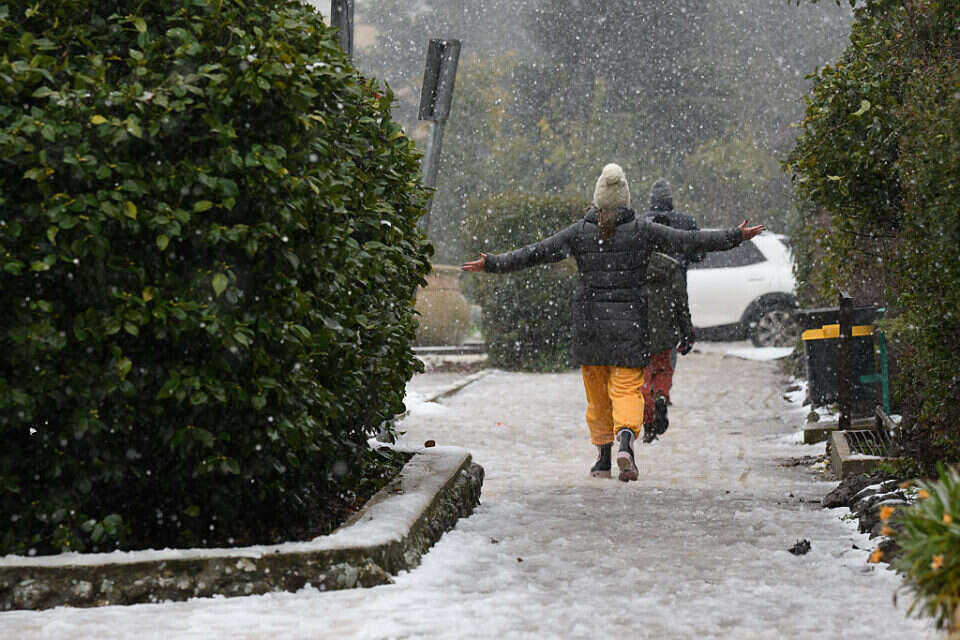
Playing in the snow at Kibbutz Alrom, photo: Eyal Margolin/Gini
Today (Tuesday) evening will continue to be rainy and cold in all parts of the country and strong winds will blow.
A few thunderstorms are also possible.
There is a fear of floods in the north, east and south streams.
On the peaks of the northern mountains, above 800 meters - snow fell that may pile up on the ground.
In the high peaks of the central mountains, above 900 m, there is a chance of snow on the ground.
In the Jerusalem area, snow is possible only in the air
Watch the spectacular documentary: Snow in the Golan Mountains // Photo: Moti Fiada and Reut Tal Levy
Tomorrow (Wednesday) the cold wave will continue.
The rains will gradually weaken, but will continue to fall from time to time from the north to the Negev.
Also, the fear of floods in the north, east and south streams - still exists.
In the morning, on the peaks of the northern mountains above 800 meters, snow will continue to fall and may pile up on the ground.
Even on the high peaks of the central mountains above 900 meters the snow will add to the pile up.
In the afternoon the rain will decrease and the winds will weaken.
At night, the coldest record will be recorded in the current storm.
Emek Habakah in the Golan.
Today, photo: Eyal Margolin/Gini
Snow on Mount Bantel in the Golan.
Today, photo: Eyal Margolin/Gini
Thursday will be partly cloudy, but still colder than usual.
There is a possibility of localized rain in the north of the country and in the center, mainly until noon, in Hermon there is a possibility of snow.
On Friday it will continue to be partly cloudy, but an increase in temperatures will be felt.
At night it may be cold in the northern valleys
Local rain is possible on Saturday, and light snow is possible in Hermon.
Sunday will be partly cloudy and still cold, but the storm will be far behind us.
were we wrong
We will fix it!
If you found an error in the article, we would appreciate it if you shared it with us