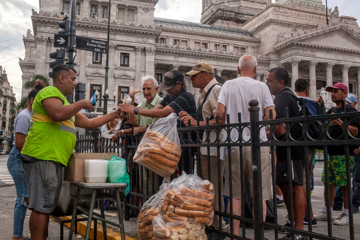
Beginning of the austral spring.
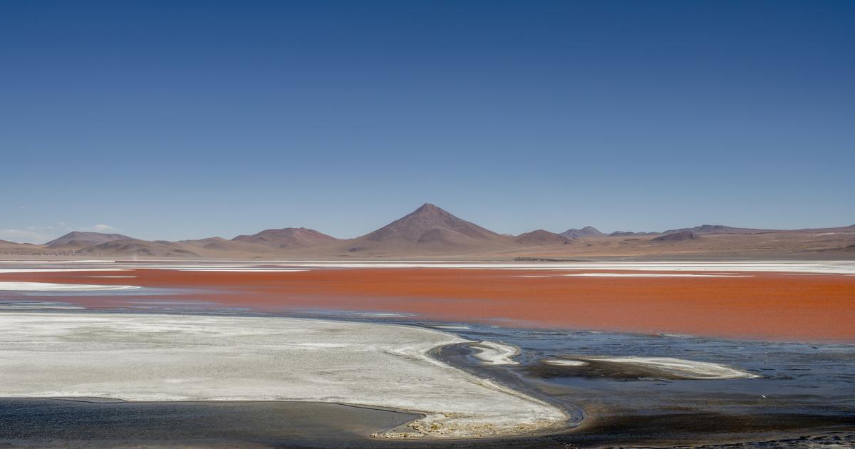
It only took an hour of dusty road between Calama airport and the oasis town of San Pedro de Atacama to get a glimpse of the mineral, desert, hostile and jagged territory of northeast Chile.
We arrive when the lobby of the Explora Atacama hotel comes alive with a joyful hubbub.
Covered in dust, backpacks and trekking shoes, the hikers and their guides are back.
To share impressions and information, there's nothing like crowding in front of the huge map hanging on the wall, representing the region.
The places visited during the day?
Cordillera de la Sal, Cordillera Domeyko, Salar de Atacama, Valle de la Luna, Piedra de la Coca, Laguna Tebinquiche, Laguna Chaxa, Tatio geysers, Rio Grande… Studying the map is fascinating.
To discover
Galapagos partner cruise |
14 days |
earthly paradise
As the Chilean writer Francisca Mattéoli, author of Map Stories, says.
Map stories: “
The map of the Atacama region reminds me of my country as I have known it…
This article is for subscribers only.
You have 94% left to discover.
Want to read more?
Unlock all items immediately.
Without engagement.
TEST FOR €0.99
Already subscribed?
Login