A severe storm surge is expected across the southern and southern Plains this Thursday, threatening strong tornadoes, widespread damaging winds and large hail for up to 45 million people.
(CNN) --
An intense wave of severe weather with damaging winds and strong tornadoes is looming over the southern and southern Plains of the United States this Thursday and Friday.
The storm system that dumped more than four feet of snow in some parts of California will move east on Wednesday, bringing a surge of severe weather for Thursday.
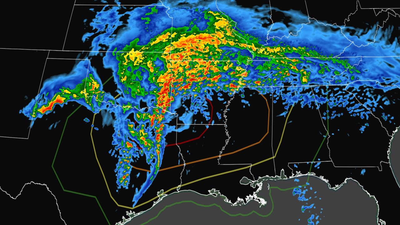
East Texas, northern Louisiana, and southwestern Arkansas ––also known as the ArkLaTex region–– face threats from damaging winds of up to 80 mph, to baseball-sized hail, and tornadoes. , some possibly larger than the EF-2 force, this Thursday.
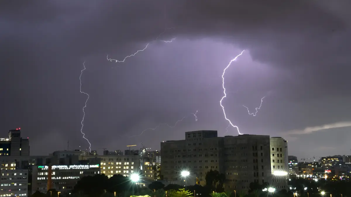
Tornadoes of this magnitude bring winds of at least 180 km/h and can destroy mobile homes, uproot trees and tear the roofs off houses.
The Storm Prediction Center has placed the ArkLaTex region under a severe storm threat level 4 out of 5 Thursday, encompassing more than two million people, including Shreveport, Louisiana, and Tyler, Texas.
This region faces the highest risk of widespread damaging wind gusts and strong tornadoes.
advertising
The entire severe threat zone stretches from central Texas to Alabama on Thursday, affecting about 45 million people.
Dallas, Memphis, Little Rock and Jackson, Mississippi are under a Level 3 of 5 severe storm risk, while Houston and Austin, Texas are under a Level 2 of 5 threat.
This Thursday's storms "will not be another serious weather threat," Dallas weather service specialists warned, adding that those who live where the threat is strongest should be aware of alerts directed toward them.
Severe threat increases Thursday afternoon
Thunderstorms will begin in central and eastern Texas on Thursday morning and will strengthen as they encounter unusually warm air to the east.
Temperatures have been near record levels for this time of year across the Southeast this week and this warm air will add fuel for storms.
Louisiana cities, like Baton Rouge, are about to match or break temperature records just before the onset of bad weather.
San Antonio and Houston are also about to break temperature records and could reach 31.1 and 30°C, respectively.
These morning thunderstorms are more likely to be strong supercell thunderstorms, which carry the greatest risk of violent tornado formation and large hail.
As the cold front associated with the threat pushes eastward, a zone of gusts and violent shifts and a strong line of thunderstorms are expected to form Thursday afternoon, increasing the threat of widespread damaging winds.
This is a long-lived storm that will maintain strength as it moves east into Louisiana and Arkansas on Thursday night.
The severe storm threat is moving into central Mississippi and western Tennessee overnight into Friday morning, maintaining a risk of damaging winds up to 70 mph, quarter-sized hail and tornadoes
In addition to serious threats, flash flooding will also be a concern.
A flood watch is in effect for more than seven million people in northern Arkansas, western Tennessee, and northern Mississippi through Friday morning.
Heavy rain of 76 to 152mm is expected through Thursday night with the potential for higher localized amounts.
This will result in multiple localized flash floods.
Severe storms continue on Friday
Severe storms will continue east on Friday, threatening more than 40 million people across the Southeast to the Ohio Valley.
A severe level 2 of 5 threat covers much of this zone and includes Atlanta, Charlotte and Nashville.
The severe storm lineup will bring the possibility of isolated tornadoes, hail and damaging winds stretching from central Tennessee to central Alabama early Friday through noon.
Eastern Kentucky and the western Carolinas will face the possibility of small hail, damaging wind gusts up to 50 mph and isolated tornadoes by Friday afternoon.
The threat is expected to dissipate late Friday night.
LouisianaTexasStorm