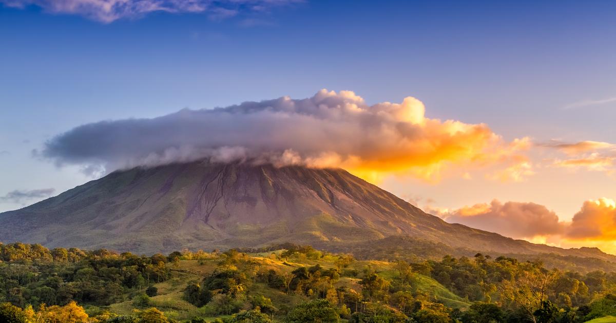
A record drought, but not temperatures.
In France, the winter which is ending – and which in meteorology covers the months of December, January and February – is part of a “trend”: it is the “
fifth consecutive season marked by a deficit of precipitation and higher than normal temperatures
”, announces Météo France in its climate report published on Monday.
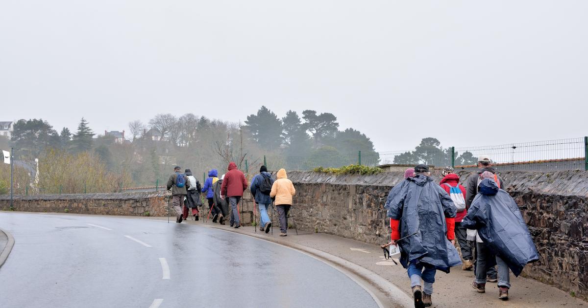
The metropolis has indeed experienced a relative mildness with an average temperature 0.8°C higher than normal (calculated over the period 1991-2020).
“
Periods of great mildness, even spring (…) alternated with fairly marked episodes of cold, especially from the beginning of December, without however the country experiencing a real winter cold wave”, according to Météo France
.
In December, for example, average temperatures of 6°C below normal were recorded on the 11th, 12th and 17th, before a transition to a frankly spring-like atmosphere and, at the end of the same month, “temporarily worthy
temperatures of a month of May
”.
Monthly records were thus recorded all over the country, with 21.2 ° C in Nîmes (in the Gard) on December 23 or 23 ° C in Biscarrosse (in the Landes) on January 1.
The warmest winter, however, dates from 2020.
Read alsoDrought 2023: what solutions to prevent water shortages in summer
Drought of unprecedented length
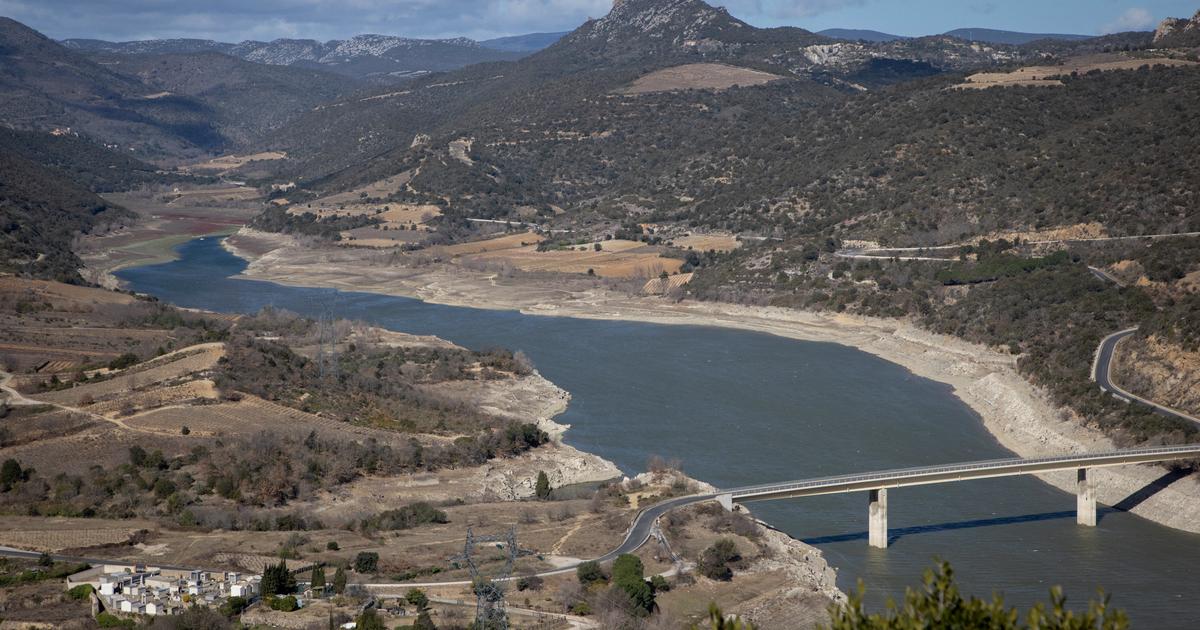
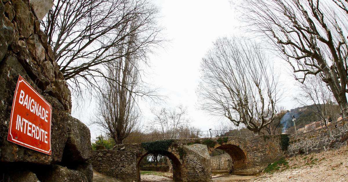
The last three months have above all been marked by a drought of unprecedented duration, with 32 consecutive days without significant rainfall (less than 1 mm on average) between January 21 and February 21.
“
This is the
highest
number of days without rain ever recorded since 1959, all seasons combined
”, confirms Météo France.
Over this period, precipitation fell by about 25% on average across the country, leaving the soil drier than normal.
“
At the end of February, the soil situation corresponds to a normal situation in mid-April on average in France
“, notes the agency.
The situation is also worrying in the mountains: the snow cover is very low in the Pyrenees, and it reached a record level of low snow cover in the Alps at the beginning of March, which does not bode well for the level of the rivers in melting period, in the months to come.
Read alsoClimate: Europe is the fastest warming continent
Météo France explains in its report that the weather conditions “
were driven by a stronger than normal Azores anticyclone, with an average position further to the northeast.
"
The link with global warming is difficult to establish
," explains Cyrille Duchesne, meteorologist at the Chaîne Météo*.
But we observe an increasingly frequent presence over the years of blocking anticyclones over Western Europe.
These subtropical anticyclones rise more easily towards the north, because cold air masses descend less towards our regions, which blocks oceanic disturbances and leads to fairly long periods of dry weather.
»
In its bulletin of major trends for the next three months, Météo France notes that "
the warmer than normal scenario is the most likely
".
On the precipitation side, we are heading towards a more normal spring, according to Cyrille Duchesne, who adds that the next few weeks will be decisive for the filling of the water tables before the summer.
*Company of the Figaro group.