A strong depression is deepening on the near Atlantic, and heading towards the Benelux on Friday.
It is preparing to generate an episode of strong winds during the night of Thursday March 9 to Friday March 10, first in the North-West.
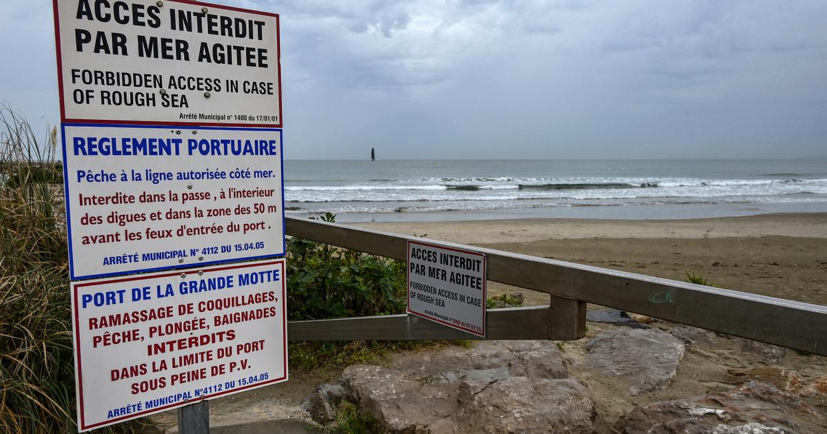
During the day tomorrow, a second depression quickly widens over the Gulf of Genoa and goes so far as to cause stormy winds over Languedoc-Roussillon, the extreme south-east and Corsica, according to the Weather Channel *.
Alpes-Maritimes, Aude, Corse-du-Sud, Haute-Corse, Pyrénées Orientales and Var are therefore placed on orange alert, due to strong winds, at more than 100 km / h, while around thirty other departments are kept in "
significant risk
", the yellow alert, with winds at 80 km / h.
Start of bad weather this Thursday
At midday on Thursday, the depression is located at 976 hPa at 200 km, still south-west of Ireland.
In Brittany, the gusts of wind are between 50 and 65 km / h on the coasts of Finistère and Morbihan.
Inland, a few gusts close to 70 km/h can be observed on the Monts d'Arrées.
From this evening and during the night, a strong gale will occur on the coasts of Brittany and Normandy, with the depression circulating on the southern coasts of England, as well as on the Atlantic coast.
The gusts reach 90 to 110 km / h on the exposed coasts, and locally 120 km / h on the islands and the tip of Cotentin.
Inland, we are content to speak of a gale, with gusts of 80 to 90 km/h, locally 100 km/h on the hills most exposed to the westerly wind.
Strong winds Friday
The wind calms down in Brittany on Friday morning, but blows even stronger on the Normandy coast, and is gradually moving northwest.
The instability is marked under the squalls with gusts of 100 to 110 km/h, locally 120-130 km/h on the tip of Cotentin and the Alabaster coast.
On the ridges of the Massif Central and in Languedoc-Roussillon, the west to north-west wind suddenly increases with stormy gusts of 100 to 120 km/h locally 130 to 140 km/h on the most exposed sectors of the Corbières, Minervois and the south of the Massif Central.
Friday afternoon, the wind drops in intensity in Normandy but strengthens in the North-East, especially on the Vosges ridges where gusts reach up to 120 to 130 km / h.
In the plain, the gusts remain between 80 and 90 km / h.
In the South, the Tramontana still blows violently until mid-afternoon with gusts of 100 to 120 km/h, locally 130-140 km/h on the most exposed reliefs.
Over the extreme south-east and Corsica, the west to north-west wind becomes violent.
On the reliefs of the Var and the Alpes-Maritimes, the gusts reach 110 to 130 km / h, locally 140 km / h.
Violent gusts at 100 km / h will even temporarily break in the plains and more locally as far as the Côte d'Azur.
In Corsica, the wind is particularly violent on the northern and southern ends of the island as well as on the Corsican mountains with 120 to 140 km/h in gusts and peaks of 170 km/h expected on Cap Corse.
In the south of the island, gusts at 140 km/h hit the Porto-Vecchio and Bonifacio sector at the end of the day.
The wind finally drops significantly in intensity, during the night from Friday to Saturday, on the Var and the Alpes-Maritimes, but remains violent on the Corsican mountains and the ends of the island.
Gusts are maintained between 100 and 130 km / h on the corse cape and the most exposed reliefs.
Read alsoIf the climate warms up too much… France in 2055 in maps
Snow on the Northern Alps
Moderate snowfall begins in the night from Thursday to Friday, beyond 1600 to 1800 meters, depending on the mountains.
The rain-snow limit will come lower during the day, between 1000 and 1400 meters.
The following night the snowfalls are more abundant, with a snow-rain limit at only 600 meters.
The snow depths then become greater, with 80 to 120 cm at 2000 meters altitude and up to 150 cm at 2500 meters.
*The Weather Channel is a property of the Figaro group.