
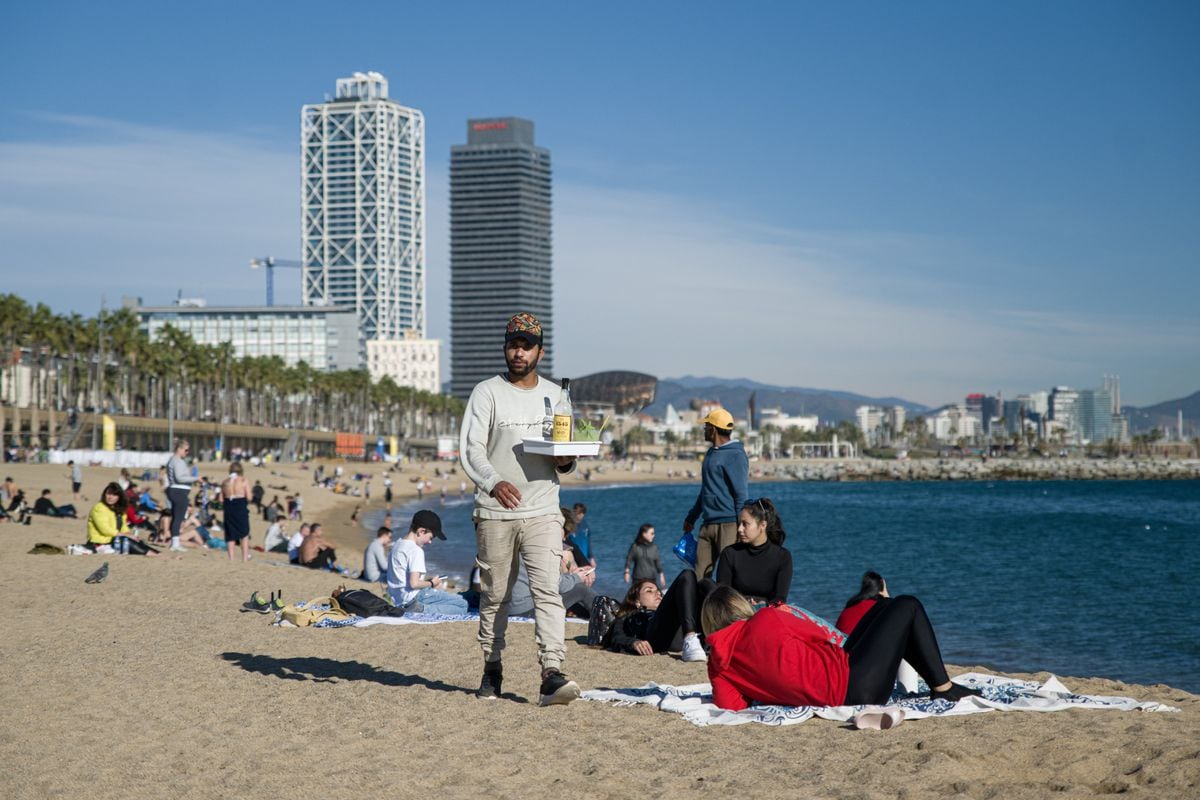
The heat adds up and continues in Spain.
The meteorological winter, which ended on February 28, has been classified by the State Meteorological Agency (Aemet) as warm.
It had an average temperature in mainland Spain of 7.4°, 0.8° above the average for the season, with the maximum 0.9° above and the minimum, 0.7°, which makes it the tenth warmest winter since the beginning of the series that serves as a reference and which starts in 1961 and the fifth of the 21st century, the agency certified this Friday at the press conference to take stock of the season.
If you look back, you have to go back to the 2017-2018 season to find a cold winter, since the past was very warm, the previous one, warm despite
Filomena
,
and that of 2019-2020, the warmest since there are records.
The 2018-2019 season was also warm, the 2017-2018 season was cold, the 2016-2017 season was warm, the 2015-2016 season was very warm, and the 2014-2015 season was very cold.
"It is the first time that in Spain there have been five winters classified as warm or very warm in a row since there are records," says Rubén del Campo, spokesman for Aemet.
As a consequence of climate change, the trend towards milder winters is clear.
“Global warming is undoubted and unequivocal.
Spain has warmed around 1.3° since the 1960s, but this warming is uneven in terms of seasons, more notable in summer, when it has been 0.27° per decade, 1.6° in six decades, while in winter it has been 0.16° per decade, around one degree since the sixties”, Del Campo contextualizes.
Series of average winter temperature anomalies in mainland Spain since 1961 (reference period 1991-2020). AEMET
“The chances of cold snaps today are lower, now they are clearly less frequent than in the 1960s and 1970s.
This winter there have not been any, but global warming does not mean that there cannot be, as in fact there was after
Filomena
in 2021 and after
Gloria
in 2020”, continues the meteorologist.
The worst of last winter was December, an "extremely hot" month, with a temperature 2.8° above average, making it the warmest since the start of the series.
January and February, although they may have seemed cold in comparison, were actually normal.
During the winter, Aemet points out, there were several warm episodes, the worst between December 6 and January 5, followed by February 14 to 22, both with maximum and minimum temperatures well above normal.
The #winter 2022-2023 had a warm character in Spain, decisively influenced by December, which was the warmest in the historical series.
In this thread 🧵 we tell you more details about the past season... and the ones to come.
pic.twitter.com/QTAX1k2qti
– AEMET (@AEMET_Esp) March 17, 2023
Although last season there were several cold episodes, none of them was a cold wave as they were not "intense or extensive or long-lasting enough," says Del Campo.
He highlighted the cold episode from January 18 to February 2, after the passage of the storms
Gerard
and
Fien
and that from February 24 to 28, due to the
Juliette
storm , which produced an entry of very cold air of polar origin, in which the lowest temperatures of winter were recorded, with -15.8 ° in Molina de Aragón (Guadalajara), -11.6° in Puerto de Navacerrada, -9.6° in Soria and -9.0° in Teruel.
So far this year, Spain has already accumulated three records for hot days ―the day with the highest temperature compared to that of those same days of the same months since 1950―, on February 20, March 12 and March 13, something "unusual when the first quarter has not yet been completed", while it has not broken any cold day record.
In an unaltered climate, Del Campo recalls, the average is five records for hot days and another five for cold days each year.
In 2022, the warmest year in Spain since there are records, there were 35 records for warm days and only two for cold ones.
Since December, in a situation of "long-term drought"
The positive part is that it has been a wet winter, but by the minimum, with an average of 194.5 liters of water per square meter, 3% above the normal value for the quarter.
The furniture saved December, which was very humid, while January was normal and February, very dry.
However, these unequally distributed rains - more water was collected than usual on the Atlantic slope and less on the Mediterranean - have not managed to reverse the situation of scarcity.
Analyzing the rainfall recorded during the previous 12 months, Spain continues this March in a meteorological drought —continued lack of rainfall—, with the northeast as the area most affected by the lack of rain.
All the accumulation basins ―similar to the hydrographic ones, but not exactly the same― are, except those of the Tagus, Júcar and Segura.
Standardized Precipitation Index (SPI) at 36 months, calculated at the end of February 2023. Values less than -1 indicate meteorological drought.AEMET
And what is worse, the meteorological drought, which began in January 2022, has been considered "long-lasting" since last December, that is, that "the rainfall recorded in the previous 36 months has been scarce."
The most affected basins are the Guadalquivir, South and Eastern Pyrenees.
Is it the most serious so far?
"No," Del Campo answers with relief, to clarify that the 12-month meteorological dry seasons since 1961 "show more intense periods than the current one, especially that of 2005."
The lasting drought is still "incipient and is far from those of the eighties and nineties of the twentieth century and that of 2005-2009," clarifies the spokesman for the agency.
Regarding the seasonal forecast for spring -the meteorological forecast began on March 1, but the astronomical forecast will do so next Monday at 10:24 p.m. Spanish peninsular time-, Aemet expects it to have temperatures around the average or warmer than normal. .
"That it is warmer is more likely in the east of the Peninsula and in the archipelagos," points out Estrella Gutiérrez Marco, head of coordination of the territorial delegations.
As for rainfall, it is likely that the rainfall will remain within the normal average, although on the Atlantic slope, that is, in much of the west and center of the Peninsula, it could be higher and on the Mediterranean and Balearic Islands, lower.
More in the longer term, the first forecasts suggest that the summer will once again be warm.
In rainfall, at the moment there is no clear trend.
"We could have a difficult summer in terms of fires, adding heat and drought," warns Del Campo.
You can follow CLIMATE AND ENVIRONMENT on
and
, or sign up here to receive
our weekly newsletter