
The earth is sinking.
That is the conclusion reached by a group of scientists after analyzing the results of a study of the decline of soils in various regions of the United States and the world.
The research, published in the scientific journal Nature Sustainability, indicated that the phenomenon, called "ground subsidence", does not occur in a similar way in all parts of the world, not even within the same city, where some areas may experience a decline while others are pushed by the earth in the opposite direction.
Many of the regions where the ground gives way more quickly have centers of high population concentration, such as Southeast Asia, although the phenomenon also occurs in several regions of the United States.
The extraction of water, pictured for agricultural purposes, is one of the main reasons cited by scientists to explain the subsidence of soils. Getty Images
In some areas, soil subsidence even occurs at a faster rate than the growth of the oceans, which increases the risk of flooding, especially in coastal areas (seas grow on average 3.4 millimeters per year, about 0.13 inches every 12 months).
[New rules announced to reduce CO2 emissions in the United States]
NASA scientist David Bekaert, one of the authors of the research, commented that the subsidence is also the result of natural processes such as tectonic plate movements or the retreat of glaciers.
However, the hand of man has contributed to a large extent, by the extraction of water and minerals and the construction of heavy structures such as buildings in large cities, which compress the layers of sediments on which they are erected.
In the United States, the regions that experience this phenomenon with the most intensity are along the east and west coasts, and here we list some of them:
Houston, on the Gulf Coast
One of the areas most affected by the decline in soils is the Gulf Coast region.
The researchers determined that Houston has the fastest land subsidence in the United States (about 17 millimeters, or about 0.67 inches, per year), based on data collected between 2014 and 2020.
Other studies have determined that parts of the city have lost up to about three meters in height since 1917.
Aerial view of the city of Houston, in Texas.Art Wager / Getty Images
Among the causes of the decline in the Houston-Galveston area are the extraction of water, oil and natural gas.
The case of New Orleans
Parts of the iconic city of New Orleans also experienced high rates of subsidence of soils, which have given way throughout the metropolis by 150 to 500 millimeters, or 6 to 20 inches, over the past 20 years.
The city of New Orleans, in the Gulf Coast area.Larry Gibson/Getty Images
NASA scientists cite natural reasons (fault movements) and the presence of man (water extraction) to explain the phenomenon.
[Canada Wildfires Affect Air Quality in Northeastern U.S.]
For example, data collected between 2009 and 2012 show that along the Mississippi River, near industrial sites in Norco and Michoud, up to 50 inches (2 millimeters) of subsidence per year was recorded.
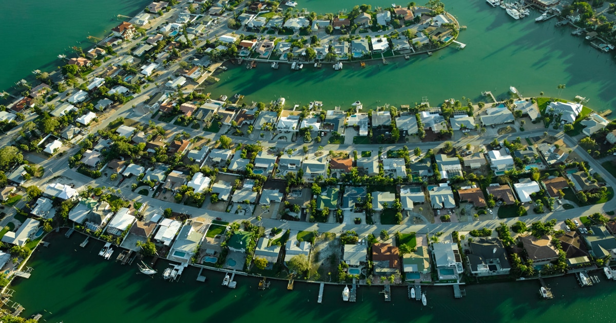
Tampa, a plain in danger
Other sites in the Gulf area, such as Tampa, Florida, have yielded up to 6 millimeters (0.24 inches per year), which is equivalent to twice the rise of the seas, but in reverse, between 2015 and 2020, and the fact is attributed to the extraction of water.
Residential area, St. Petersburg, in the Tampa waterfront area.Getty Images
Because it is relatively flat, the scientists explained, the region is exposed to being flooded by rising sea levels.
New York, the most populous city
With 8 million inhabitants, New York is the city with the largest population in the United States and on average sinks annually from 1 to 2 millimeters, about 0.03 to 0.08 inches.
According to Matt Wei, a geophysicist at the University of Rhode Island, most of the sinking in the Big Apple can be explained by natural reasons.
The Lower Manhattan area in New York.Getty Images
Wei explained that during the last ice age, ice sheets weighed heavily on the land and caused the stretching and sinking of the earth's crust in regions such as Canada and the northeastern United States.
Outlying areas such as New York and the Chesapeake Bay, however, rose. When those ice sheets began to recede about 12,000 years ago, the areas that were initially sunk began to rise and those that had been elevated began to give way.
"New York doesn't sink," Wei told The Washington Post, "because of the weight of buildings. It's mainly due to glacier rebound."
[Cases of Potentially Deadly Fungus Infection Rise in New York]
However, he added that there are places where the weight of buildings could have contributed to the accelerated rate of decline in soils. The city's average subsidence is 1 to 2 millimeters per year, with some areas yielding as much as 4.5 millimeters (0.18 inches) annually.
The Central Valley, an area of great agricultural wealth
The study revealed that the subsidence of soils on the west coast is not as marked as that in the eastern part of the country, but this does not mean that it is not happening.
According to Bekaert, tectonic movements are the main reason for the decline of soils in this region.
Fields planted in the Central Valley, California. Getty Images
Data gathered by the research shows that land has fallen there less than 3 millimeters (0.12 inches) per year, with the exception of the San Diego region, which has experienced higher figures.
Agricultural water extraction has left its mark on California's Central Valley: since 1920, parts of the San Joaquin Valley have dropped as low as 8 feet (5.28 meters).
With information from The Washington Post and Nature Sustainability