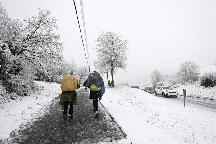
A stormy start to summer in southern France. This June 1st, begins in France the meteorological summer which will end on August 31st. For the next fortnight, the France will be cut in two with a North bathed by a summer sun and a South plagued by many storms.
Nearly fifteen departments were indeed placed in "significant risk" tonight, according to the Weather Channel*. And in the coming weeks, a large part of the south of the France will be placed under vigilance because it will again experience violent stormy episodes, accompanied by sometimes high temperatures.
How can these degradations be explained? By what is called a "barometric swamp" which "refers to a meteorological situation that is found on regions generally located between two centers of action, an anticyclone and a depression, and an atmospheric pressure that varies little and is slightly low-pressure," says The Weather Channel.
These situations "favor the formation of thunderstorms and stormy showers when the atmosphere is humid and sunshine is important, we then speak of showers of diurnal evolution," says the site. Clearly, the Hexagon is in contact with two influences: an anticyclone centered in Ireland and which benefits the north of the France by sunny weather and low Mediterranean pressures in the south that favor thunderstorms after significant sunshine in the morning.
Consequences of the barometric swamp. The Weather Channel.
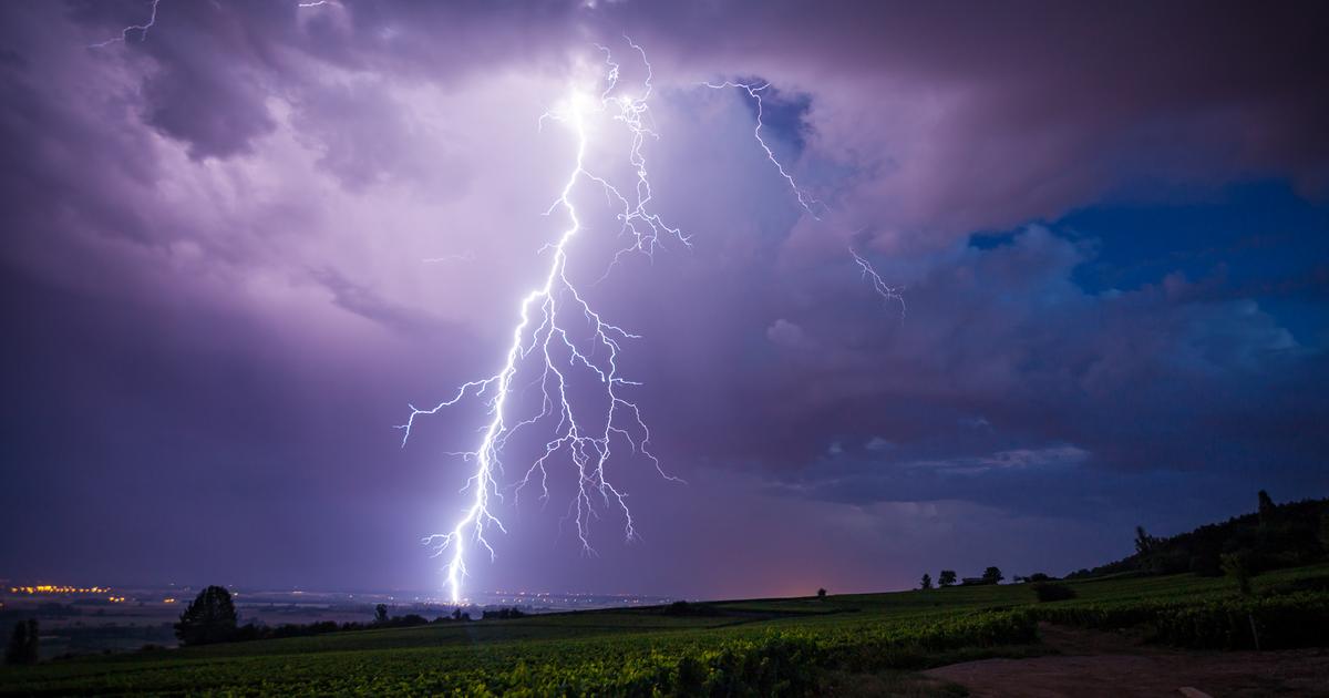
These thunderstorms form when cold air at altitude meets warm air close to the ground. This develops these stormy clouds. Thus, this stormy trend "can be accentuated by the presence of reliefs, which favor updrafts, movement accentuating the formation of storm clouds," says the site. On the reliefs of the Alps, the Massif Central and the Pyrenees, the stormy trend may therefore be more important.
* The Weather Channel belongs to the Le Figaro group.