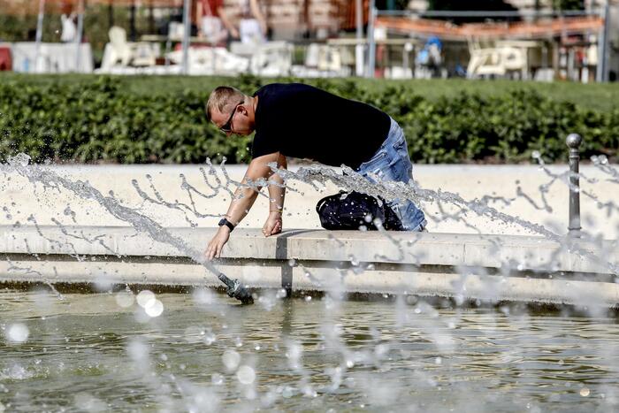
The heat will start to settle in France. This week of June 5, the Hexagon should experience its first heat episode of the year, reports The Weather Channel *. "Temperatures will increase over the week, to approach 30 ° C on the northern half," says Regit Crépet, meteorologist at The Weather Channel. According to him, "it was [until then] hot, but it was nothing excessive". "On a France scale, average temperatures are nevertheless 2°C above seasonal norms."
This bar of 30 ° C should be reached in Paris for the first time of the year Thursday, June 8. "The 30 ° C are on average reached in Paris on June 15, there it will be a little earlier," notes Régis Crépet. "In the South, with the disappearance of thunderstorms, the clear sky will also allow temperatures to reach 30 ° C," adds The Weather Channel in its article.
No heat wave
Nevertheless, there is no question of talking about a heat wave or a heat wave. The heat wave designates, according to The Weather Channel, an "episode lasting at least three days of abnormally high temperatures, generally above +3 ° C compared to the monthly average". We speak of a heat wave when it is "a prolonged episode of abnormally high temperatures day and night (more precisely, three days and three nights)". This will not be the case these days.
" READ ALSO In Lyon, the equivalent of a month of rain fell in two hours
Temperatures will fall again at the end of the week. "It will ease a little this weekend, with possible thunderstorms," predicts the meteorologist, especially in the west and south of the country. "We are heading for hot and heavy weather," summarizes Régis Crépet.
*The Weather Channel is a property of the Figaro group.