The Limited Times

Now you can see non-English news...

Satellite images reveal the extent of the destruction in Khan Yunis Watch | Israel today

2024-02-01T16:40:34.069Z

Highlights: Satellite images reveal the extent of the destruction in Khan Yunis. As part of the documentation, you can see the decreasing amount of buildings in the neighborhood. During the fighting in the city in recent weeks, the IDF located tunnel shafts, weapons, terrorist infrastructures of Hamas and also eliminated many terrorists. If you found an error in the article, we would appreciate it if you shared it with us. Were we wrong? We will fix it! We would like to hear from you.


The documents reveal the extent of the destruction in the city in the center of the Gaza Strip where many Hamas infrastructures are located.


From the beginning of December until today:

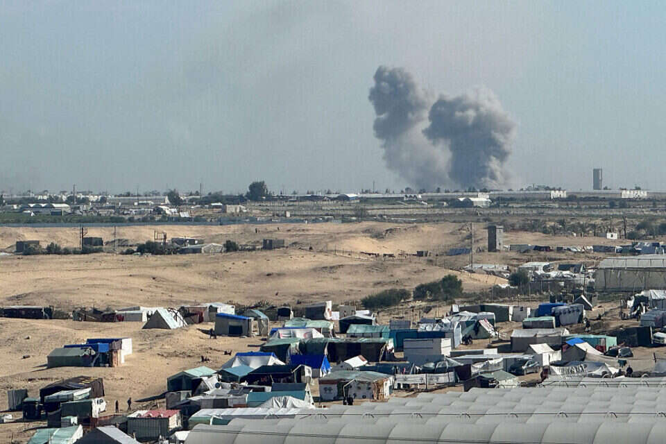
a series of satellite images released today (Thursday) reveal the extent of the destruction in the city of Khan Yunis in the center of the Gaza Strip.

As part of the documentation, you can see the decreasing amount of buildings in the neighborhood, which is also a significant terrorist stronghold. 

Fighters of the paratroopers brigade in Khan Yunis, photo: IDF spokesman

During the fighting in the city in recent weeks, the IDF located tunnel shafts, weapons, terrorist infrastructures of Hamas and also eliminated many terrorists. About two weeks ago, documents of the IDF fighting in the neighborhood were published, which came alongside clarification that civilian homes in the city were marked in order to avoid harming them. 

were we wrong

We will fix it!

If you found an error in the article, we would appreciate it if you shared it with us

Source: israelhayom

All news articles on 2024-02-01

You may like

Trends 24h

Latest

© Communities 2019 - Privacy

The information on this site is from external sources that are not under our control.
The inclusion of any links does not necessarily imply a recommendation or endorse the views expressed within them.