
The anticyclone still dominates this Monday, and brings calm weather.
On the other hand, grayness and clouds will be omnipresent in many regions with some drizzle.
The mildness, already seen in recent days, persists, according to forecasts from
La Chaîne Météo
*.
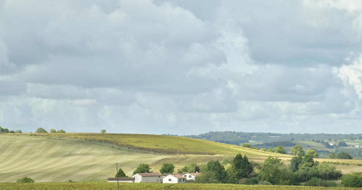
The weather on Monday: from autumn to spring, from North to South
Status quo for the meteorological status across the whole of France.
Although it is slightly less mild than Sunday, temperatures remain mild to start the week, with peaks between 20 and 23°C in the South-East.
The sun will remain firmly established in the mountains and in the South.
As a result, the average temperature will show an excess of +3.1°C compared to normal.
Low clouds are still numerous in the plains.
North of the Seine, drizzles will make episodic appearances.
Details by region
In all areas north of the Loire
, you will remain covered in gray weather with some coastal drizzle.
Minimum temperatures:
4 to 10°C.
Maximum:
8 to 11°C
From
Poitou
to the
north of Auvergne
and from
Rhône-Alpes
to
Burgundy
to
Lorraine
, the low clouds are tenacious and rarely allow clearings to pass.
Minimum temperatures:
6 to 8°C.
Maximums:
9 to 11°C under low clouds to 17°C in full sun.
In the plains and valleys
of Aquitaine
and the
South of Toulouse,
the fogs more or less give way to clearings in the afternoon.
From 500 meters above sea level, the sun shines supreme.
Minimum temperatures
: 0 to 9°C |
Maximums
: 8°C under low clouds to 17°C in full sun.
From the
Pyrenees
to the
central massif
in the
south of Auvergne
and from
Rhône-Alpes
to the
Mediterranean
, the sun shines, except between the west of Corsica and the Côte d'Azur where the low coastal clouds are quite invasive.
The tramontane and the mistral are running out of steam.
Minimum temperatures:
0 to 10°C |
Maximum
: 15 to 20°C up to 22°C in the lower Rhône valley and in Provence.
*The Weather Channel is a property of the
Figaro Group
.