The long rain system that has passed through Israel since Monday 01/22 is about to end, and it is time to summarize it and find out what the amounts of rain that fell during it are.
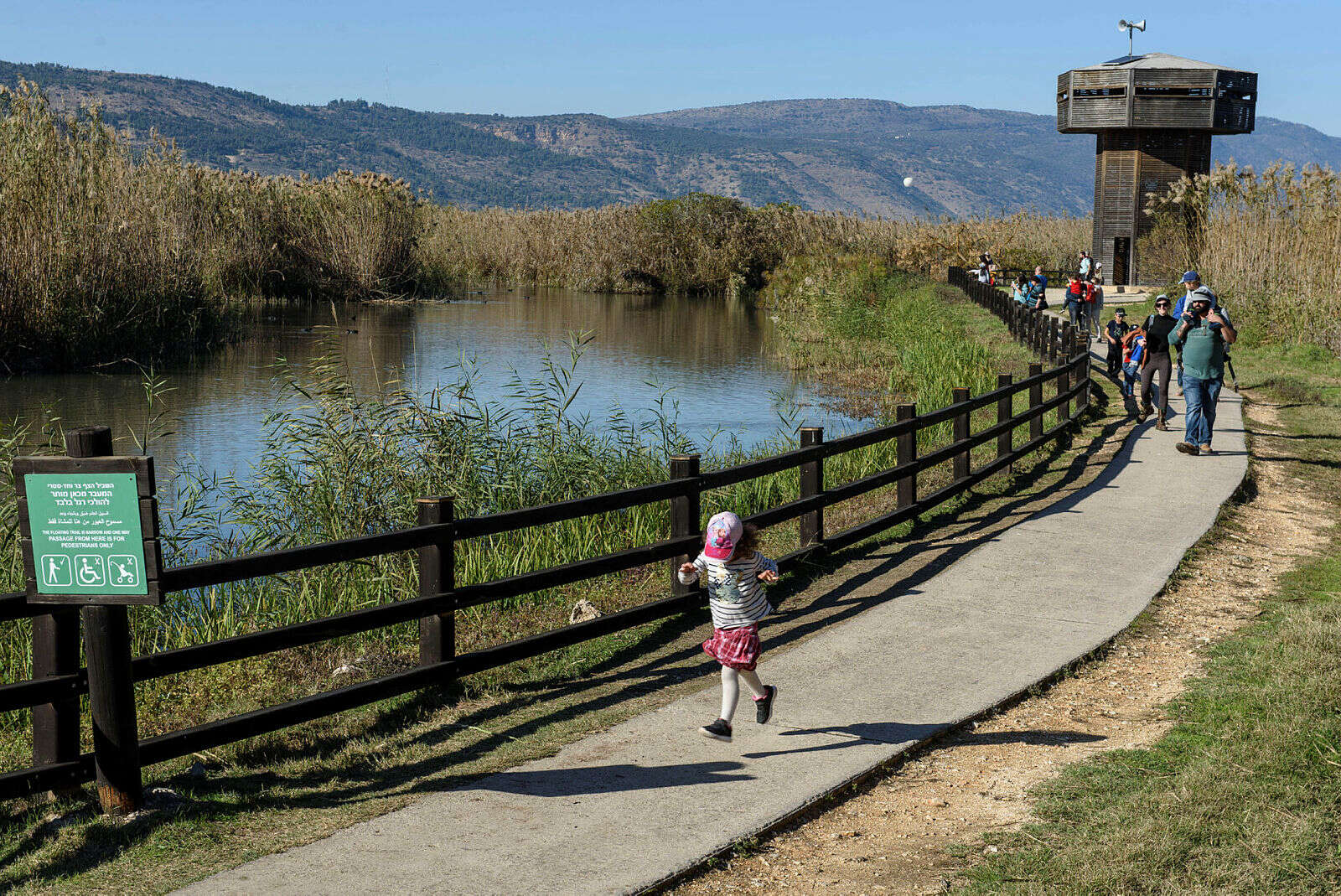
Hikers in the Fora nature reserve (archive) // Barak Shaham, Nature and Parks Authority
Berashit, at the Metao Tech weather forecasting company, states that the amounts of rain that have fallen are so great that many areas in the north and center have reached the annual amounts of rain for the entire winter.
Also, there are areas that even exceeded the annual amount, such as the Sharon area, where about 800 mm fell, when the average is around 600 mm.
The amount of precipitation that fell in several areas throughout the country: 255 mm fell in the Golan Heights, 183 mm in Ginosar, 290 mm in the Carmel area in Haifa, 312 mm in Netanya, 290 mm in Tel Aviv, 155 mm in Jerusalem 121 mm fell in Ashkelon and 131 mm fell in Kiryat Gat.
The amount of precipitation that fell in several areas throughout the country during the last rain system, photo: Metao-Tech
As far as the rest of the week is concerned, tomorrow, Tuesday, there are chances of drizzle or light localized rain until noon.
After that the weather stabilizes and the temperatures will start to rise, until Thursday it will be even a little warmer than the seasonal average.
The forecast in detail:
Tomorrow, Tuesday
-
Partly cloudy to cloudy and less cold.
Until noon, drizzle or light localized rain is possible in the north of the country and in the center. The Mediterranean Sea will be rough to the point of high waves and dangerous for swimming, with waves 100-200 centimeters high.
Wednesday - partly cloudy, with another slight increase in temperatures, which will be close to the average for
the
season. The Mediterranean Sea will be rough to high waves, with waves 70-140 centimeters high.
Thursday
- partly cloudy to clear, with a further rise in temperatures, which will be higher than usual for the season. The Mediterranean Sea will be rough with waves 60-120 centimeters high
.
Friday
- partly cloudy to clear, with a slight drop in temperatures
.
The Mediterranean Sea will be rough, with waves 50-100 centimeters high.
Were we wrong?
We will fix it!
If you found an error in the article, we would appreciate it if you shared it with us

