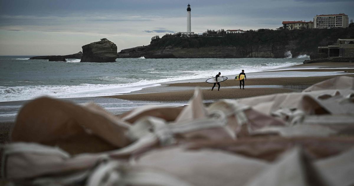
After the passage of storm Karlotta this weekend, a disturbance of low activity arrives in the North this Monday, accompanied by very light scattered rain, more marked in Aquitaine with a gale.
In the West, the weather is improving with beautiful sunny periods in the afternoon.
The wind temporarily weakens near the Mediterranean, according to
La Chaîne Météo
*
.
The Pyrénées-Atlantiques and the Landes have, however, been placed on yellow alert by
La Chaîne Météo
: the conjunction of high tides and strong winds near the Atlantic (up to 90-100 km/h in gusts) linked to the passage of A small depression circulating rapidly from the Bay of Biscay to Roussillon raises fears of risks of coastal submersion at high tide on the Aquitaine coast.
The spring tides which began this weekend reach their highest point on Monday with a coefficient of 110.
The weather in your area :
From the
Channel
coast to the
Charentes
, after the gray weather and some rain in the morning, the weather improves with fairly generous sunshine in the afternoon.
From the
Grand Est
to the
Massif Central
in the
north of Rhône-Alpes
to
Burgundy
and the
Jura
, the sky is overcast in the morning with a few rare drops possible.
This gray weather persists all day.
In
the South-West,
you spend the day under an overcast sky with some rain in the morning in Aquitaine which slides towards Midi-Pyrénées in the afternoon, all accompanied by a temporary strengthening of the wind in the south of Aquitaine at 100 km/h in gusts over the Basque Country.
In Roussillon, a few drops are possible.
From
Languedoc
to the
Côte d'Azur
as well as in
Corsica
, the sky is temporarily cloudy, with a little mistral and tramontane which strengthen in the evening.
*The Weather Channel is a property of the Figaro Group.

