
This Wednesday, the weather deteriorates with the arrival of a disturbance from the West.
The rains will be more sustained in Brittany than in the rest of the northern half.
The wind increases to 80 km/h on the Channel coast.
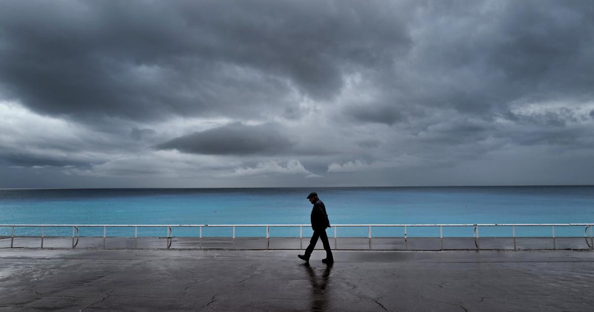
In the Gulf of Lion, the sky becomes cloudy when the mistral and tramontane calm down.
Only Corsica will escape this degradation.
Temperatures remain mild everywhere compared to seasonal norms, announces
La Chaîne Météo
*.
The weather in your area
In the regions neighboring the
Channel
, the day is turbulent with the arrival of the disturbance in the morning.
The wind strengthens and blows up to 80 km/h in the afternoon, while the rains are sustained and regular in Brittany.
From the North-East to the
Paris basin
, from the center of the country to the
Massif Central
, the weather becomes cloudy in the morning with the arrival of light rain in the second part of the day.
In the
South-West
, clearings are rare in the morning.
The sky will be completely overcast in the afternoon but should remain dry.
In the
Center-East
(Auvergne and Franche-Comté, northern Rhône-Alpes), the weather is mixed with lots of clouds and slight clearings in the morning.
The sky becomes completely cloudy in the afternoon with even a few drops expected in the evening.
In the
Mediterranean region
, some clearings will affect you in the morning but the mistral and tramontane weaken as the day goes on.
Therefore, the sky is also cloudy although the weather is expected to remain dry.
Temperatures remain mild.
Further trend
The next few days look set to become more and more turbulent with a gale expected this Thursday in the north and west of the country.
Gusts could exceed 100 km/h on the exposed capes of Pas-de-Calais and Cotentin.
Temperatures will begin to drop on Friday, still under gray and rainy weather.
The Weather Channel is a property of the Figaro group*