
Bad weather returns this Wednesday, between gales and heavy rain, across the Atlantic side of the country.
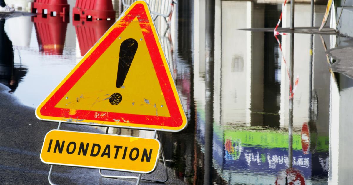
Accumulated rains are expected to be significant by the end of the week, with new risks of flooding as deterioration is expected to spread throughout the country, progressing towards the south.
This bad weather is due to the
“atmospheric river”
phenomenon , according to La Chaîne Météo*.
By crossing the Atlantic Ocean from the Antilles to France, this
“atmospheric river”
will affect
“disaster areas such as the Nord and Pas-de-Calais, but also in Nouvelle-Aquitaine”
, affirms the meteorological television channel .
The term
"atmospheric river"
refers to a rain corridor of warm, humid air.
They can also
“generate more or less severe bad weather with heavy rain or snowfall, floods and violent winds, leading to damage to property and people.”
.
Also read Weather: what is the “atmospheric river” phenomenon causing flooding in the South-West?
Pas-de-Calais targeted again
Due to the soils which are still waterlogged following the floods, Pas-de-Calais will be one of the areas most at risk, even if the expected rainfall totals “
are not particularly high”
.
“With these new rains expected, the water will have difficulty infiltrating into the soil which could cause new floods
,” assures La Chaîne Météo.
The part of the territory most affected by this heavy rain is located in the southwest, in the Basque Country and the Pyrenean foothills, with a peak of rain on Friday.
The television channel expects
“more than 100 mm of rain in the Landes and the Pyrénées-Atlantiques, or even a little more”
.
Finally, the Charentes and the western slopes of the Massif Central should also be affected by this risk of flooding.
*The Weather Channel is a property of the Figaro group