
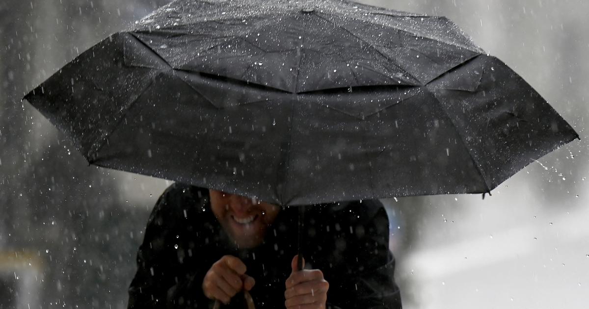
This Thursday, the weather promises to be very rough with a strong gale and gusts of up to 110 km/h in the west of the country.
The departments of Nord, Aisne, Pas-de-Calais, Somme, Oise, Val d'Oise, Seine-Maritime, Seine-et-Marne, La Manche, 'Orne, Calvados, Eure, Eure-et-Loir, Yvelines, Essonne and the departments of the Paris region are affected by the orange wind vigilance, Météo-France announces.
Thunderstorms are also expected in the northwest quarter.
The departments of Vendée and Deux-Sèvres are affected by orange rain-flood vigilance.
Only the Mediterranean region remains a little away from this disrupted weather.
Temperatures remain mild everywhere else, underlines
The Weather Channel*
.
The weather in your area
Across the entire
North-West quarter
, the day is very rough with a strong gale which sets in in the second part of the day.
These winds push squall lines and heavy thunderstorms.
From the
Center to the North-East
, the weather is gloomy with the front passing at the end of the day, also accompanied by strong gusts (80-90 km/h) and stormy showers at the back.
From the
South-West
to the
Center-East
, the rains arrive at midday with also very gloomy weather.
Snow falls in the Alps above 1700 m altitude before decreasing in the evening.
From the
South-East
to
Corsica
, the weather is much less turbulent but the feeling remains unpleasant with lots of clouds and light rain which reaches the seaside in the evening, except on Roussillon and the Isle of Beauty.
The tramontane blows hard in the evening, up to 80 km/h.
Further trend
On Friday, a calm is expected with a significant drop in the thermometer allowing snow to fall on all mountain ranges above 1000 meters.
The wind gradually calms down.
For this weekend, the weather will be choppy again on Sunday in particular, but a priori to a lesser extent than this Thursday.
*The Weather Channel is a property of the Figaro group.