
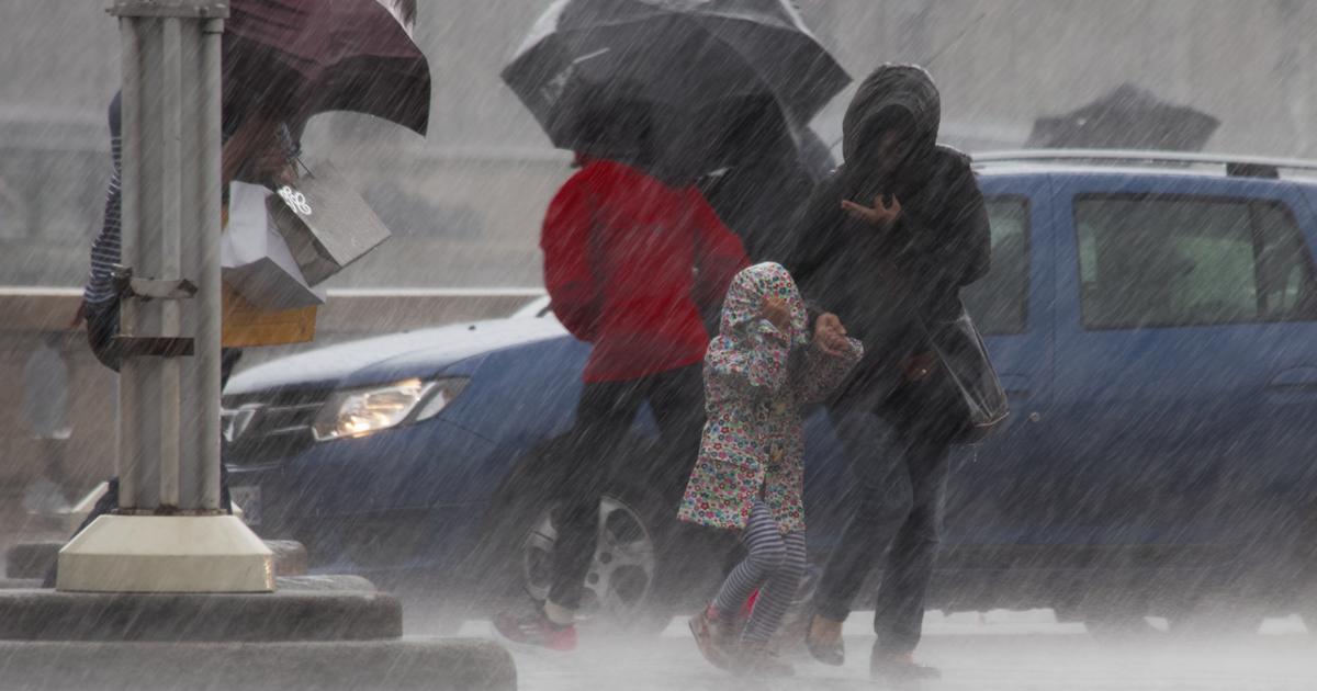
After the heavy rains across the country, there is a slight period of calm, particularly in the northern part.
“Grey and humidity remain very present in the South with still rain and snow in the mountains
, according to La Chaîne Météo*.
The temperatures are seasonal, but it often feels quite chilly, particularly because of the wind.”
The main improvement since Monday concerns the weather north of the Loire, with
“clearings and a
softer wind”.
“In the south, the intensity of precipitation (rain and snow) gradually weakens”
while
“the wind picks up in the Mediterranean”
.
Orange “flood”
vigilance
will be in force in Pas-de-Calais, Seine-et-Marne, Charente-Maritime, Charente, Dordogne and Gironde, according to Météo-France forecasts.
Significant floods are forecast for Tuesday on the Dronne (south-west), the Isle (Gironde, Dordogne) and the Grand Morin (Seine-et-Marne).
The weather in your regions
The North-West
,
the Center and Île-de-France
will benefit
from “a significantly more pleasant day than in recent days with beautiful clearings all day”
, indicates
La Chaîne Météo
.
The wind disappears and blows much less strongly, all in a relatively cool atmosphere.
For the
North-Eastern quarter and Hauts-de-France
, the weather becomes
“finally dry and brighter with beautiful clearings all day”
, with a light wind.
The weather remains very cloudy and humid from
Aquitaine to the Grand Est
via
Auvergne and Burgundy
, in a cool atmosphere with the North-East wind.
Apart from
“a few drops in the morning and still a little snow from 1000 meters”
, the weather will dry out in the afternoon.
In the
South-West, south of the Garonne
, the rain is still present, particularly at the foot of the Pyrenees where the level of rivers remains under surveillance.
Snowfall will still occur in the west of the Pyrenees where
“it still snows from 800 to 1100 meters above sea level”
.
The weather will also be unstable in the
South-East
, with sometimes stormy showers in Provence and especially Corsica.
“The tramontane and the mistral rise during the afternoon, driving away the showers, but the sky still remains quite threatening
. ”
Further development
The lull will experience a peak of tranquility on Wednesday for the week despite some turmoil around the Mediterranean.
But, as La Chaîne Météo points out,
“new ocean disturbances will return from the west on Thursday”
, even if
“they will be weaker than those which have just passed through our country”
.
Seasonal temperatures will remain similar.
If the weather remains inconsistent in Corsica, the Pyrenees will still benefit from the improvement even
“if the risk of avalanches continues to be significant”
.
*The Weather Channel is a property of the Figaro group.