
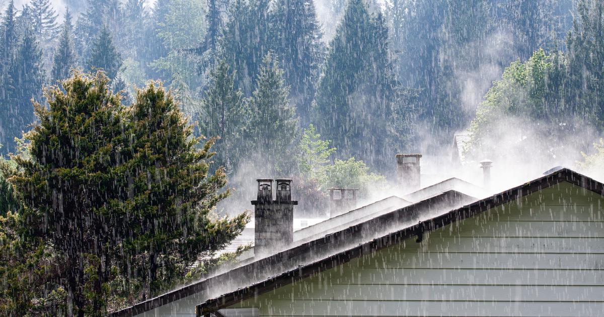
The heaviest precipitation will occur between the Cévennes and the PACA region with a strong south to southeast wind.
The western half of the country will also experience choppy weather with showers and wind.
The Northeast regions will stay away from this turbulent and disrupted weather, according to
La Chaîne Météo
*.
Six departments are affected by an orange alert until Sunday 12 p.m.: Alpes-Maritimes, Ardèche, Loire, Haute-Loire, Lozère as well as Var.
The weather in your area on Saturday:
In
Brittany
,
Pays de la Loire
, it rains lightly to moderately in the morning.
Showers will appear in the afternoon.
In
Normandy
,
Île-de-France
,
Hauts-de-France
and
Grand-Est,
the sky is cloudy in the morning with a certain coolness.
In the afternoon, the clouds thicken and light rain moves from the Paris basin towards Nord-Pas-de-Calais.
Lorraine and Alsace remain dry.
In the
Center-Val de Loire
and
Burgundy-Franche-Comté
, the sky becomes increasingly cloudy in the morning and the southerly wind strengthens in the Val de Saône.
The rain reaches the Center in the afternoon then heads towards the Morvan.
These rains do not reach the Jura and barely the Val de Saône, still under the influence of a strong southerly wind.
In
Auvergne-Rhône-Alpes
,
PACA
,
Occitanie
and
Corsica,
the weather deteriorates quickly in the morning.
Heavy rain appears near the Cévennes with stormy winds in the mountains and on the coast.
These heavy rains shift towards the Côte d'Azur at the end of the day.
It snows heavily from 1200 meters in the Cévennes and 1000 meters in the Southern Alps.
The island of beauty stays away from all the hustle and bustle with cloudy skies, but no rain.
In
New Aquitaine
, it snows heavily on the Pyrenean peaks.
Some rain is expected north of the Garonne.
In the afternoon, the sky clears radically from the west and the snowfall weakens in the Pyrenees.
The weather Sunday
On Sunday, a gradual calm is expected in the southeast, while the weather remains humid in the west.
The unrest will quickly evacuate towards Italy.
After heavy showers which could become stormy at the start of the day in the PACA region, the weather becomes calmer near the Mediterranean.
Clear spells are back and the risk of showers is more limited.
Snowfall still occurs at relatively low altitudes over the Alps in the morning before clearing out in the afternoon.
In the rest of the country, the weather is cloudy with sometimes rain or showers between Brittany, Normandy and New Aquitaine.
The wind blows quite strongly on the Breton and Atlantic coasts.
In the North and North-East, clouds dominate, but the weather remains dry.
*The Weather Channel is a property of the Figaro group.