
An exceptional historical heritage, omnipresent sunshine and a unique sweetness of life make Andalusia one of the most beautiful destinations in Europe.
To discover
Travel to Spain: tailor-made tours, hotels and stays from our partners
It is divided into eight provinces.
So many hikes selected by
Le Figaro
to discover the south of Spain on foot, between the sea and the mountains.
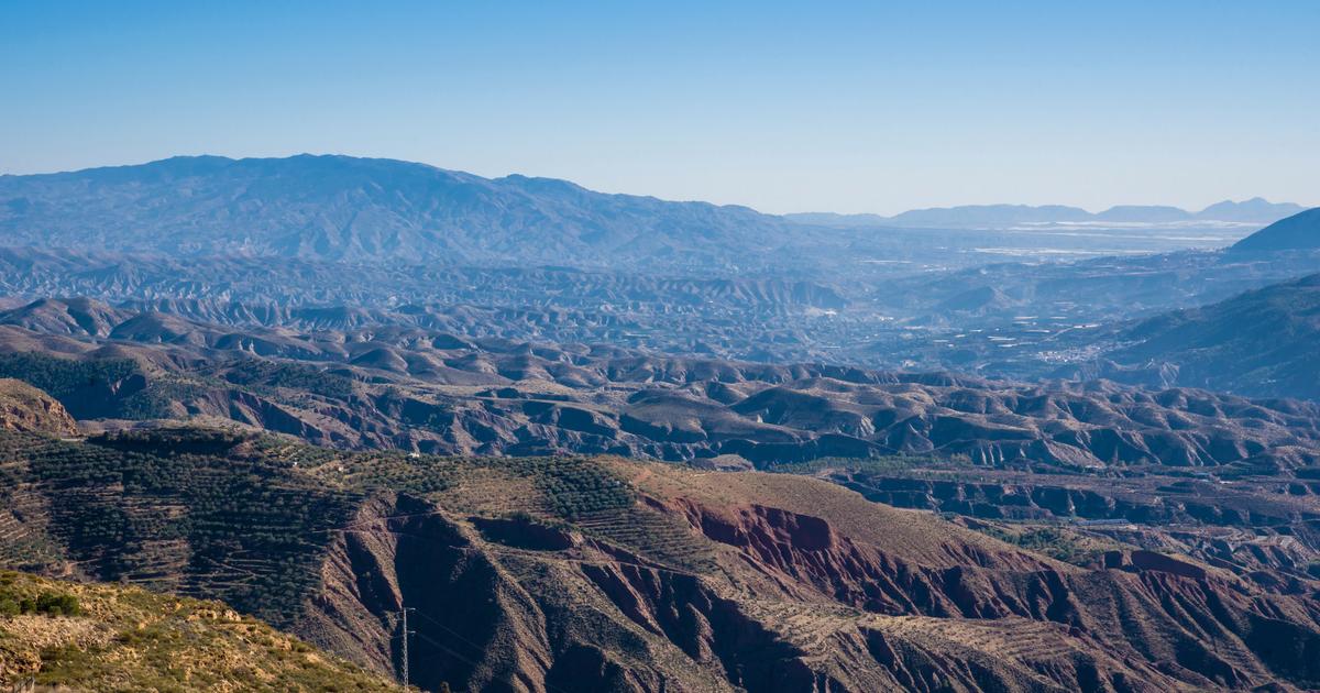
Almeria
Hydroelectric Trail (PR-A 36)
Here is a road which follows the canal formerly collecting the water which supplied the old hydroelectric power station, to light the Andarax valley.
Do it in the opposite direction to what is indicated on the sign, you will save yourself a steep climb which will become a descent at the end.
The ascent is via a forest track offering a beautiful view of the valley, the summit of Almirez (2,514 m) and the Sierra de Gádor, while crossing the remains of pipes, irrigation canals and mechanisms to channel the water.
Like the Chillo Bridge, an aqueduct from the Muslim period.
Guaranteed disconnection: the mobile network is almost non-existent there.
Distance:
7 km, circuit route.
Departure:
From the El Nacimiento (“spring”) recreation area, in Laujar d’Andarax, go up the El Cerecillo forest track.
This path parallel to the river starts near the old hydroelectric power station converted into the La Fabriquilla restaurant.
Difficulty:
Medium, due to elevation changes and high precipices.
Suitable for the whole family, but not recommended with pets or on bikes.
Cadiz
The town of Grazamela, in the Sierra Natural Park.
joserpizarro - stock.adobe.com
Green Gorge Route
In the Sierra de Grazalema Natural Park, this remarkable canyon carved out by the Pinar stream ends in the Hermitage, a cave similar to the dome of a church, flown over by griffon vultures.
Stroll among its stalactites and stalagmites covered with algae to also discover laurisylva, a type of humid subtropical forest.
As entry is restricted, remember to request authorization.
From June 1 to October 15, only access to the first viewpoint is possible, except for those who practice canyoning.
Do not neglect sun protection, as the road is not very shaded.
Distance:
2.5 km, linear route.
Departure:
On the CA-9104 road, which connects the municipalities of Grazalema and Zahara de la Sierra, near the Port of Acebuches.
Difficulty:
High, due to a steep drop of 250 meters.
Not recommended for children and prohibited for pets.
Cordoba
Arroyo Pedroche – Santo Domingo Trail (PR-A 332)
Here, we cross bridges spanning no less than four streams, bordered by thick, shaded vegetation where titmice and blackbirds reside.
Immerse yourself in a landscape of
cortijos
(local farms) and waterfalls, where you will discover the Sanctuary of Saint Dominic of Scala Colei and the hermitage of Saint Alvare.
These two monuments date from the 15th century, as do the remains of a Roman aqueduct.
Distance:
11.5 km, circuit route.
Departure:
Two possibilities from Cordoba.
The sports facilities in the El Naranjo district or from the Pedroche industrial zone, opposite the gas station.
Difficulty:
Medium, with the exception of a stony and steep section of 300 meters of high difficulty.
Passable by bike, except on this section.
Grenade
Perched at an altitude of 1000 meters, in the Sierra Nevada National Park, this trail encounters a limestone gorge carved out by the Monachil River.
GalerinyaChris - stock.adobe.com
Monachil River Trail (SL-A 294)
Perched at 1000 meters above sea level, in the Sierra Nevada National Park, this trail encounters a limestone gorge carved by the Monachil River.
Along the banks, you cross suspension bridges, waterfalls and a narrow defile where you can walk attached to the wall.
On certain sections, you will have to move crouched, or even on all fours.
Bring water shoes if you want to continue on the river.
The places are also suitable for climbing.
On weekends, be early to avoid built-up areas.
Distance:
7.7 km, linear route.
Departure:
In Monachil.
Free parking in the heart of the municipality.
Difficulty:
Medium.
Until the parade, the path is suitable for children under 10 years old and pets.
Not recommended for bicycles.
Huelva
The path winds along the old railway line connecting the various mines in the area to the sea coast as well as the brick bridge over the Odiel River.
Andalucia / press photo
Odiel greenway
On the banks of the Odiel, immerse yourself in a landscape of vestiges of past industrial activity (old railway stations, loading dock, etc.).
In particular, the marks left by the open-cast mining of the Mina de la Concepción.
The path winds along the old railway line connecting the various mines in the area to the sea coast as well as the brick bridge over the Odiel River.
Distance:
17 km, linear route.
Departure:
On the N-435, the old Zalamea la Real railway station, known as La Estación Nueva, and converted into a bar restaurant, Andén de la Estación.
Difficulty:
High, due to a steep 33% slope.
Not recommended for bicycles.
Jaén
Borosa River Route
Be early to follow this popular route through the Sierras de Cazorla, Segura y las Villas Natural Park, the largest protected area in Spain.
On the left bank of the Borosa, a forest track plunges into the Cerrada de Elías, a striking gorge whose path passes by means of wooden footbridges, suspended above the crystal clear waters of the river.
Not recommended in summer, as it receives little shade.
Remember to bring a torch to cross the tunnels.
The mobile network is almost non-existent.
Distance:
7.5 km, for the linear route to Cerrada de Elías, or 22 km for the complete route.
Departure:
On the A-319, the old fish farm of the Borosa River, near the Torre del Vinagre Visitor Center (“Vinegar Tower”), free parking.
Other parking possible near the Borosa River Visitor Center and fish farm, paying (€2 per day).
Difficulty:
Low for the short route.
High for the entire route, the difference in altitude makes the path difficult.
Malaga
The 105 meter suspension bridge and the glass balcony will take your breath away.
AdobeStock
El Caminito del Rey
Workers from the nearby hydroelectric plant once walked this path of footbridges hooked and suspended from the cliffs.
Today, the hike is done on wooden planks also attached to the rocks, from which you can observe the historic path, in its abandoned state.
A century old, it was built of brick and cement, supported by railway rails.
The 105 meter suspension bridge and the glass balcony will take your breath away.
General entry: €10.
Distance:
6.5 km or 7.7 km, depending on the access chosen for this linear route.
Departure:
Two possible accesses, either from the north, to Ardales, or from the South, to Álora.
Difficulty:
Low to medium, due to some elevation changes and a final segment with a climb of around a hundred steps.
However, children under 8 years old, pets and bicycles are prohibited.
Seville
Since Antiquity, the weather and the hand of man have sculpted this karst landscape with shades of red, ocher and gray, classified as a Natural Monument.
David Martinez - stock.adobe.com
El Cerro del Hierro Trail
While traveling this “iron hill”, we wander through the labyrinthine galleries of this former open-air mining operation, in the Northern Sierra Natural Park.
Since Antiquity, the weather and the hand of man have sculpted this karst landscape with shades of red, ocher and gray, classified as a Natural Monument.
The visit begins in the old mining hamlet.
The places are ideal for climbing and caving.
The heart of the hill can only be visited with a guide or authorized company.
Expect between €80 and €120 for a group of 20 people and ask at the information point (+34 661 43 70 87 / naturaleza@turnature.es).
Remember to book.
Download the map here.
Distance:
2.7 km, circuit route.
Departure:
From the information point (and interpretation center) in the hamlet of Cerro del Hierro.
Open only on weekends, public holidays and on group request.
Difficulty:
Low.
Suitable for children, people with reduced mobility, pets and bicycles.