
The Hérault department will be placed on orange wave-submersion alert on Tuesday morning due to increased winds and high sea levels in the Mediterranean that could cause wave
“breaks”
in exposed areas, Météo announced on Monday. -France.
Hérault will be on yellow vigilance for waves-submersion from 3 a.m. to 6 a.m., on orange vigilance from 6 a.m. to noon, then again on yellow vigilance until 4 p.m., the Hérault prefecture said on formerly Twitter).
The orange level is the third on a scale of four and calls on the public to be
“very vigilant”
, due to
“expected dangerous phenomena”
.
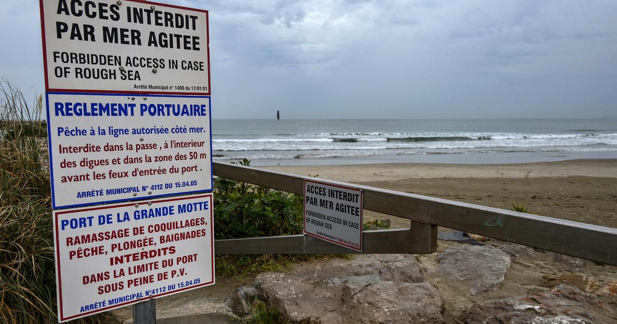
“Be extremely careful on the coast.
During the orange phase, do not go to sea, do not get into the water and stop all nautical activities
,” insists the prefecture.
“East to southeast winds strengthen late Monday to Tuesday night over the northern Gulf of Lion.
They generate strong waves from the east to the southeast reaching the coast of Languedoc at the end of the night.
In addition, atmospheric conditions are the cause of a significant rise in sea level
(surge) ,
”
explains Météo-France in its vigilance bulletin.
“Up to 120 mm in the Cévennes”
“The department of Hérault, located in the axis of the vein of strong winds, is particularly concerned. The surge of these strong waves, associated with these high sea levels, risks causing submersion by crossing sea waves on exposed areas of the coast
,” underlines the meteorological institute.
Hérault will also be on yellow
“rain-flood”
and
“wind”
alert on Tuesday, with accumulations which
“should reach 30 to 50 mm on average, with peaks at 80 mm in the plains and up to 120 mm in the Cévennes »
.
Wind gusts could reach 90 to 100 km/h, depending on the prefecture.
The authorities have again recently insisted on the need to respect precautionary instructions after the violent bad weather which caused the death of eight people in the south-east of France in early March, swept away by swollen rivers.
This Monday, 10 metropolitan departments are placed on yellow alert: five for wind (Aveyron, Haute-Garonne, Loire, Haute-Loire and Tarn), four for risks linked to floods (Aisne, Oise, Pas-de-Calais and Somme) and one for avalanches (Haute-Savoie).
Tuesday, in addition to Hérault, which will therefore be on orange or yellow vigilance for wave-submersion, 24 departments will be on yellow vigilance, some for several parameters.