
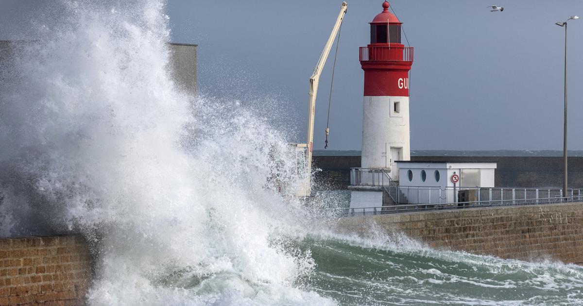
Storm Nelson will put the North West to the test on Thursday.
Finistère, Côtes-d'Armor, Loire-Atlantique, Vendée, Charente-Maritime and Deux-Sèvres are announced on orange alert for violent winds by
Météo France
.
These departments will face strong, even stormy winds, with gusts ranging from 100 to 130 km/h in a north-western part of the country.
Atlantic beaches will face a risk of submersion and showers in the North-West will be accompanied by intense rain, sometimes hail and thunder, announces
La Chaîne Météo*
.
The weather in your area
From Brittany and the Pays de la Loire to Normandy and the north of New Aquitaine
, the weather is very choppy from the morning with strong gusts as the showers pass.
In the afternoon, showers interspersed with a few periods of dry weather with clearings will mark unstable and windy weather.
From Centre-Val de Loire and Île-de-France to Hauts-de-France
, the weather is very changeable, alternating between clearings and cloudy periods which can be accompanied by showers and strong gusts of wind to 70- 80 km/h.
From the Grand Est to Burgundy-Franche-Comté
, rain or showers are still circulating at the start of the day near the Belgian and German borders under a sky laden with clouds.
As the hours pass, clearings and cloudy periods follow one another, sometimes accompanied by showers.
From the south of Nouvelle-Aquitaine to Auvergne-Rhône-Alpes, Occitanie, PACA and Corsica
, showers are still circulating in places in the morning with snow from 900 to 1000 m over the Alps and the Massif Central.
The weather conditions improve from the end of the morning with an alternation of clouds and nice clearings in the afternoon.
Temperatures are up compared to the day before.
*The Weather Channel is a property of the Figaro group.