
Le Figaro Nantes
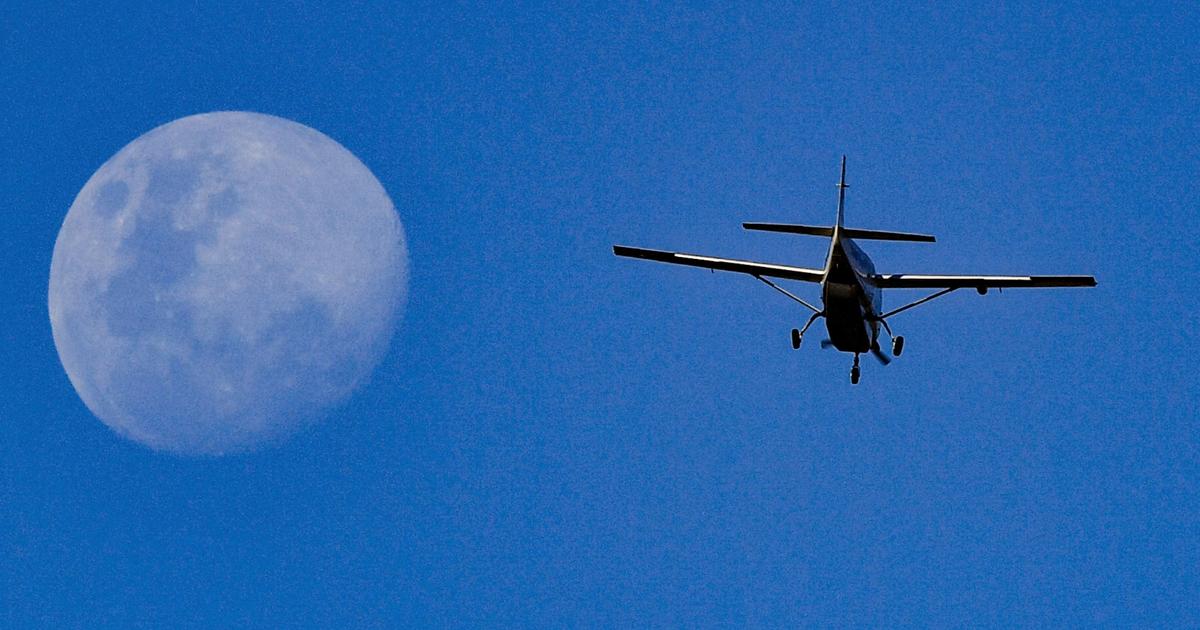
The device has all the qualities of a spy plane.
Despite its small size, its on-board cameras and its observation mission, the plane which is about to fly over the communes of Loire-Atlantique is in no way confidential.
He works on behalf of the department.
Or, rather, for the Loire-Atlantique version of Territoire d'énergie (TE44), “community of communities” responsible for the distribution of electrical energy and natural gas in the territories.
What is the connection between plane trips and the management of cable networks and public lighting?
Cartography.
In cooperation with Atlantlic'eau, the public drinking water distribution service in the department, TE44 has scheduled a new aerial photography campaign for this spring in order to update its “simplified street plan”, or PCRS.
A jargon that hides a valuable cartographic tool.
“The PCRS is a precise benchmark for our territory, which takes the form of a shared plan at the department level
,” indicates to Le
Figaro
Isabelle Doat, responsible for institutional relations at TE44.
“Thanks to this tool with a very fine resolution, of the order of 10 centimeters, the different network operators can work on roads from a common and reliable source,”
she adds.
“An essential tool for communities”
Pushed since 2019, at the national level, by the General Directorate for Risk Prevention, the development of the PCRS requires flying over and photographing the territory.
This was done in 2020, in Loire-Atlantique.
Four years later, the maps must nevertheless be reviewed and refined.
“Our territory is dynamic and evolves quickly, sometimes with significant changes to the roads, which is why we have launched a total update of the images of our PCRS, which is an essential tool for communities
,” explains Yves Taillandier , vice-president of Territoire d’énergie Loire-Atlantique.
The specialized group Geofit, based in Nantes, won the public contract organized by the community.
As soon as the weather permits, a Partenavia P.68 aircraft, equipped with cutting-edge photogrammetric equipment, will crisscross the department at low altitude.
A second aircraft, a P68TC, could also participate in the campaign, if the need arises.
The municipalities of Loire-Atlantique have been warned of the upcoming flight.
It was a question of warning the communities and not causing concern, it is specified within TE444.
The cost of this departmental aerial photography campaign for updating the PCRS amounts to one million euros.
A sum which will be supported in particular by funds from the Pays de la Loire region and the European Union.