
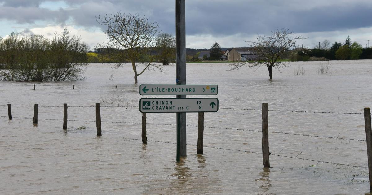
The severe bad weather which marked the Easter weekend will continue until Monday morning. The departments of Indre-et-Loire and Vienne remain on red alert until April 1 for risk of flooding, while the Alpes-de-Haute-Provence, Hautes-Alpes, Alpes-Maritimes, Ardèche and Drôme are on orange alert for flooding, according to the Weather Channel*. With numerous stormy showers, the weather nevertheless promises to be calmer than Sunday, with the return of clearings in the south of the country and the wind gradually weakening.
In
three quarters of the country
, unstable weather is expected. Under the threatening clouds, showers occur. They are sometimes strong and can become stormy in the afternoon. It snows above 1400 meters in the mountains. From the Charentes to the Breton coasts, the wind blows up to 90 km/h when stormy showers pass, at 70 to 80 km/h inland.
From
Burgundy
to the
Grand Est
, Monday morning, it rained markedly, particularly from Champagne and the Ardennes to Lorraine. In the afternoon, showers replace the rain. The wind is sensitive and blows at 60 km/h in gusts.
In
the southwest,
the sky is variable. A few showers are possible at the end of the day from the Basque Country to the Pyrenean foothills.
In
the south-east,
after Sunday's bad weather, beautiful sunny periods are forecast. Inland, under the most threatening cumulus clouds, a light shower may occur in the afternoon.
In the mountains, heavy snow is expected in the south of the Alps with 40 to 80 centimeters of fresh snow between Queyas and Mercantour, increasing the risk of avalanches. These rains are moving towards Rhône-Alpes and Burgundy where significant accumulations of water are expected (between 30 and 50 millimeters).
*The Weather Channel is owned by the Figaro group.