Seen from space, Australia looks like a "furnace", with deep scars left by fires, clearly visible in the satellite photos of the European Copernicus program, managed by the European Space Agency (ESA) and the European Commission. Thus ESA experts describe the progression of the bonfires which, along the south-eastern coast of Australia, have already burned 10 million hectares of land.
Smoke clouds generated by the bonfires, photographed by the Sentinel 3 satellite (source: modified Copernicus Sentinel data (2019), processed by ESA)
Thanks to their instruments for measuring infrared radiation, European Sentinel satellites are able to record temperatures on the ground, as special "thermometers in space", explains ESA. The images, which are in addition to those detected by NASA satellites, show columns of smoke and flames that stretch for tens of kilometers along the south-east coast. They also highlight the progression towards the south between October and January of the bonfires, "fueled by record temperatures, drought and strong winds", explains ESA.
Animation of the progression of the bonfires towards the south, along the east coast of Australia. (source: modified Copernicus Sentinel data (2019), processed by ESA)
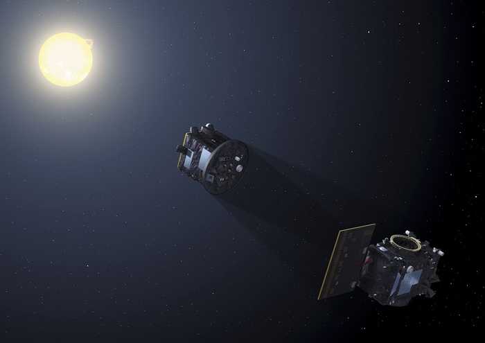
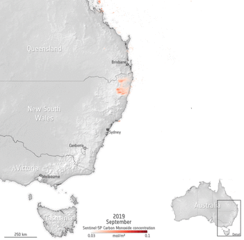
According to experts, "the number of fires could also be underestimated, due to the spatial resolution of satellites, of about 1 kilometer". Furthermore, the bonfires, ESA concludes, "have worsened the quality of the air". As the data of the Sentinel 5 satellite indicate, capable of monitoring the presence of polluting gases in the atmosphere, starting from carbon monoxide, harmful to health.
Animation of the distribution of carbon monoxide produced by the bonfires, measured by the Sentinel 5 satellite (source: modified Copernicus Sentinel data (2019), processed by ESA)
/cloudfront-eu-central-1.images.arcpublishing.com/prisa/Q2GFUQLBLVDFDE4G6U6GH2UFJE.png)