The heatwave persists in France. If the peak seems to have passed, 15 departments, from Hauts-de-France to Île-de-France via Normandy were placed on red alert until Wednesday by La Chaîne Météo *. During this period, the maximum temperatures will exceed 35 ° C, may reach 40 ° C. The minimums will struggle to drop below 20 ° C at night. “ This heat wave occurs in a particular health and environmental context. In connection with the level of long-lasting heat, discomfort is increasingly important and can cause health risks in the most urbanized areas.», Warns our partner. The departments placed on red alert are: Val d'Oise, Val-de-Marne, Seine-Saint-Denis, Hauts-de-Seine, Essonne, Somme, Yvelines, Seine-et- Marne, Seine-Maritime, Paris, Pas-de-Calais, Oise, Nord, Aisne and Eure.
Read also: When France warms up: everything that will change in our lives
The night from Monday to Tuesday promises to be hot, particularly in large cities. “ Around 10 pm, temperatures will often remain blocked between 27 ° C and 33 ° C from Lyon to Paris and Lille as well as in Burgundy-Franche-Comté, Lorraine and Alsace, ” notes The Weather Channel. Only local thunderstorms can lower temperatures from 5 ° C to 10 ° C, " providing welcome natural ventilation ", it is stressed. “ But very often, it will be necessary to wait until 2 am or 3 am in the morning to be able to go down to 23 ° in the countryside and still 25 ° C in the cities ”.
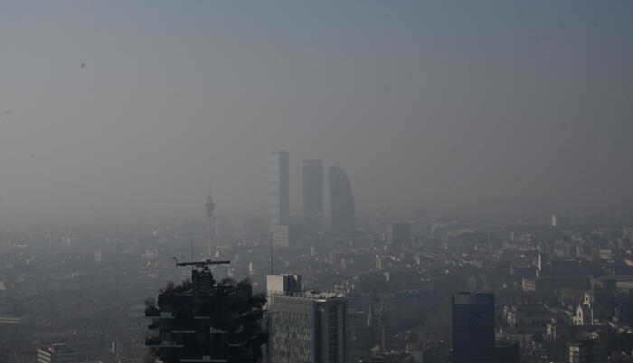
The north of France is affected by the heatwave. The Weather Channel.
Tuesday, the heatwave will continue on three-quarters of the territory. Temperatures of 35 to 40 ° C are expected in the eastern and central regions. “ At the end of the day, occasional strong thunderstorms will erupt in New Aquitaine, and more isolated from the Center-Val de Loire to Hauts-de-France, ” explains our partner. " The heat wave continues, pay attention to you and your loved ones, tweeted the Minister of Health Olivier Véran. Drink water regularly, eat even if you are not hungry, limit physical exertion. Let us all be vigilant! "
Wednesday will be the last day of the heatwave, with temperatures similar to the day before. A very strong stormy degradation is to be expected. This will start in the Atlantic regions. " A weather alert for thunderstorms will therefore follow that in effect for the heatwave, " says La Chaîne Météo.
Read also: Heatwave: the State sets up a toll-free number
If the heat peak is significant, it remains " lower " than that of 2003, when records were broken in the majority of weather stations, certifies our forecaster. This peak is also shorter: 3 to 6 days, compared to 10 to 15 days 17 years ago. "This heat wave accentuates the current surface drought over many regions, and further increases the risk of fires," warns La Chaîne Météo.
* The Weather Channel is a company of the Figaro group.