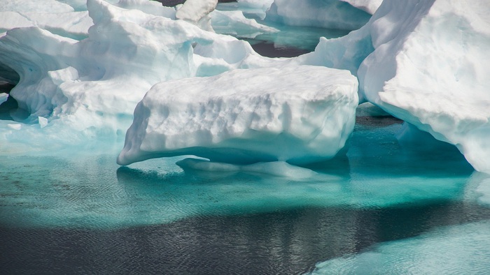
The 'eyes' of the satellites aimed at the Earth reveal an unprecedented acceleration of the melting of the ice in the last 30 years: the annual loss has risen from 800 billion tons to 1,300 billion tons.
On balance, from 1994 to 2017, 28 trillion tons of ice were lost, the equivalent of a 100-meter-thick ice cap as large as Great Britain.
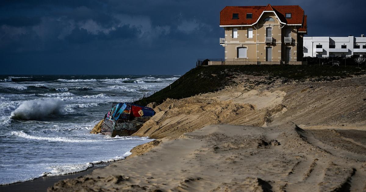
The situation is in line with worst-case scenarios for climate change and could have serious repercussions on coastal communities.
This is demonstrated by the first study of its kind based on satellite data, led by the University of Leeds and published in The Cryosphere journal.
Specifically, the researchers analyzed observations from the European Space Agency's (ESA) ERS, Envisat and CryoSat satellites, along with those of Copernicus' Sentinel-1 and Sentinel-2 satellites, the Earth observation program run by ESA and European Commission.
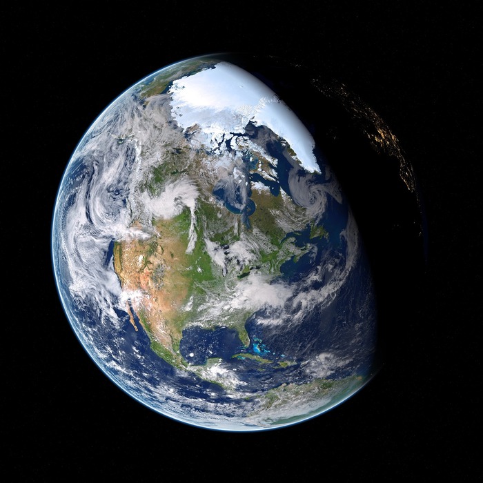
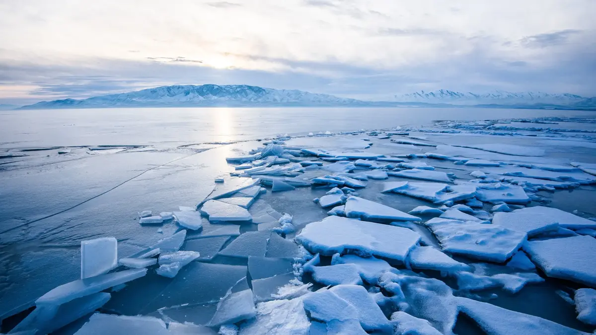
The study looked at 215,000 mountain glaciers from around the world, the Greenland and Antarctic ice sheets, ice shelves floating near Antarctica, and drifting ice in the Arctic Ocean and the southernmost portion of the oceans.
The data show a 65% increase in the rate of melting of ice over 23 years: an acceleration due to overheating of the atmosphere and oceans, which for every decade since the 1980s have registered an increase of 0, respectively. 26 and 0.12 degrees.
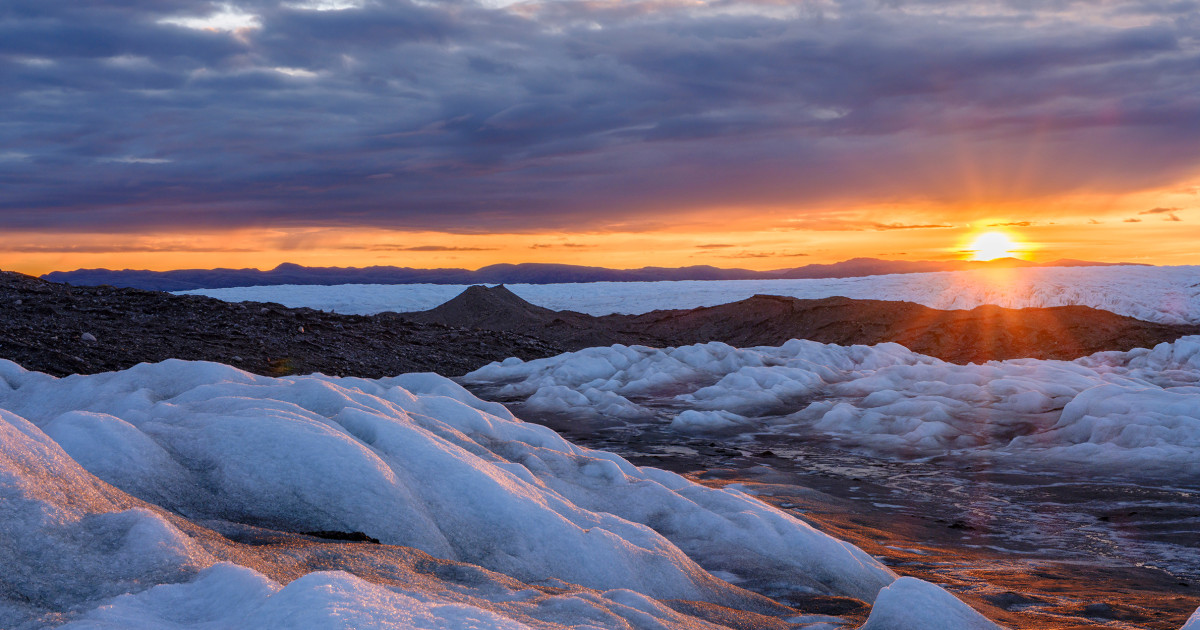
Antarctica and Greenland are the worst affected regions in the world.
Half of the losses are from land ice melt (including 6.1 trillion tons of mountain glaciers, 3.8 trillion tons in Greenland and 2.5 trillion tons in the Antarctic ice sheet).
These losses have resulted in a global rise in sea level of 35 millimeters.
It is estimated that for every one centimeter rise, about one million people risk having to migrate to leave coastal and lower-altitude regions.
'Sea rise of this magnitude will have serious consequences for coastal communities this century,' the researchers conclude.