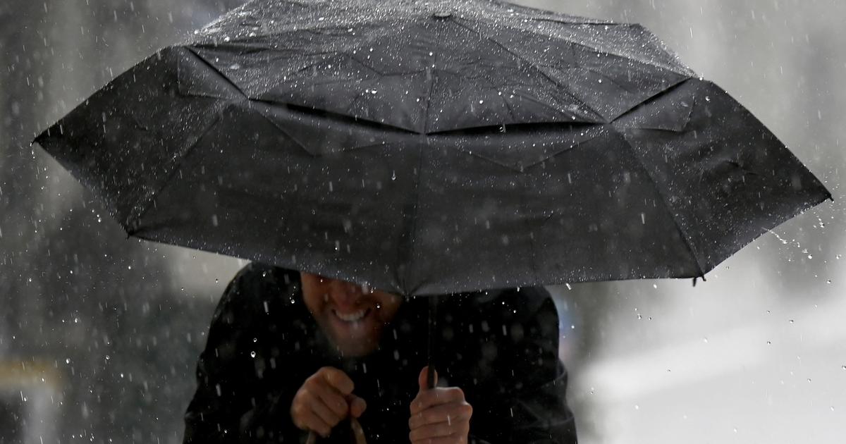
The sky will become chaotic soon the next few hours in the west of France, particularly in Britain, according to our partner The Forecast Channel *, who placed this Thursday, July 22 at "
significant risk
" the Cotes d'Armor and the Morbihan Finistère.
From Friday morning, a first stormy salvo hit Morbihan and southern Finistère to the Pays de la Loire coastline, causing accumulations of 30 to 40 mm of water.
Read also: Floods in China: torrents in the Chinese metro
The thunderstorms will pause on Friday noon, before strengthening in the afternoon, with water offal that can lead to runoff and flooding.
The episode will not end until Saturday, where gusts of winds up to 80 km / h are also expected.
Three departments were placed at "significant risk" of thunderstorms.
The Weather Channel
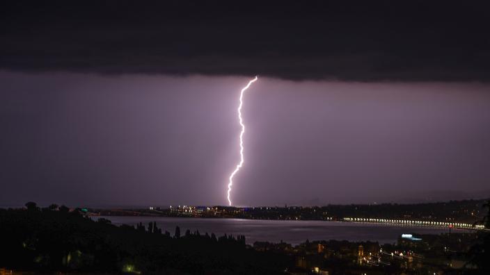
For its part, the Météo-France organization has placed
the Oise and Aisne, already affected by flooding in recent weeks,
on vigilance with orange “
floods
”.
Other departments, such as the Ardennes, Marne, Aube, Meuse, Vosges, Bas-Rhin, Haut-Rhin, Saône-et-Loire, Ain, Rhône, Manche, l 'Ille-et-Vilaine and Loire-Atlantique are vigilant yellow floods or thunderstorms.
* The Weather Channel is owned by the Figaro group