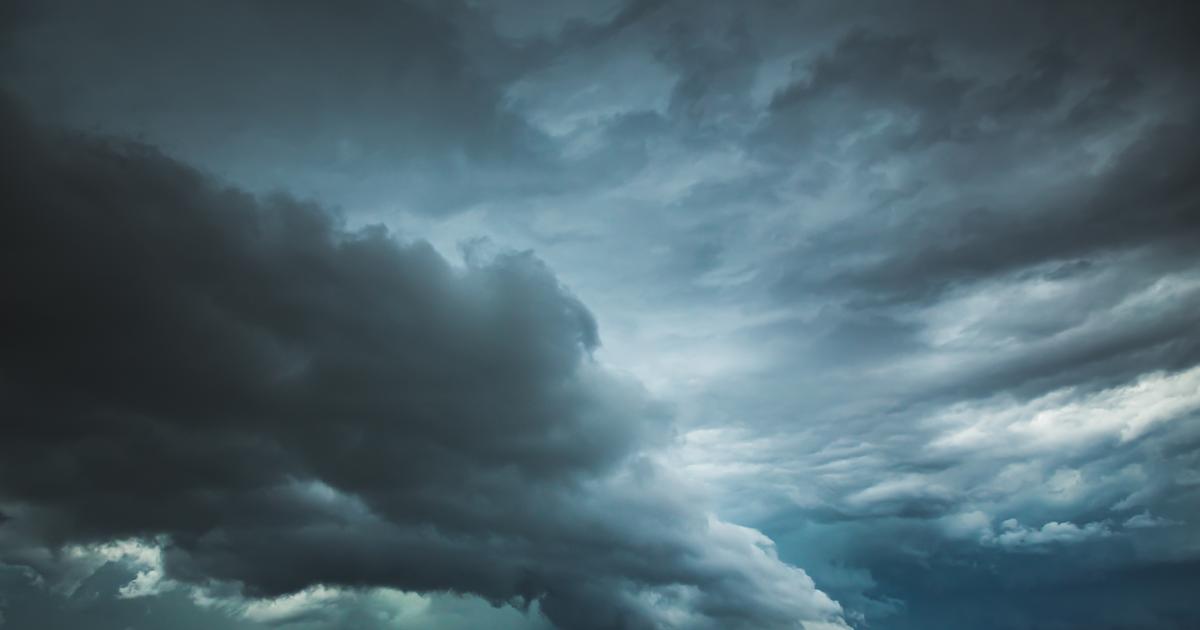
Will France experience an extreme weather event?
If the hurricane season has been calm this year in the North Atlantic, it could suddenly get carried away, after the formation of tropical storm Danielle off the Azores on September 1.
Since then, several specialists have sounded the alarm on social networks, and have warned of a risk that this storm, now classified as a hurricane, will cause a lot of damage when it reaches the European coasts around the 10 september.
What about?
Le Figaro
takes stock with the Weather Channel*.
Read alsoClimate: a summer of all records
Hurricane or tropical storm?
Danielle was identified as a tropical storm on September 1 by the US Hurricane Center (NHC).
As it intensified, and when its winds exceeded 117 km/h on September 2, the tropical storm was classified as a Category 1 hurricane out of 5. Generally, a Category 1 hurricane causes little damage, unlike a category 5 hurricane, such as Katrina (2005) or Dorian (2019), which devastates territories and homes.
For her part, Danielle should not get worse.
Read alsoTyphoon, hurricane, cyclone?
Four infographics to understand
Where is Hurricane Danielle headed?
Hurricane Danielle was located at the beginning of the week about 3000 kilometers from the European coast, in the middle of the Atlantic.
The meteorological phenomenon should follow the "
classic path
" of hurricanes, as asserted by the Weather Channel.
The position of Hurricane Danielle on September 5, far to the west of the Spanish coast.
The Weather Channel.
It should thus bypass the Azores high and go up towards the northeast, towards Western Europe.
More specifically, Danielle should reach either off Ireland or off England, depending on how her trajectory evolves.
According to the NHC, the first scenario is currently preferred.
Possible scenarios for Hurricane Danielle's path.
The Weather Channel
What to expect in France?
According to meteorologist Alexis Vandevoorde, officiating at the Weather Channel, Danielle should gradually “
lose its tropical characteristics while weakening or disappearing as it approaches the European continent
”.
As the Weather Channel points out, hurricanes draw their energy in particular from the warm waters of the ocean.
Currently, some areas of water, including the one where Danielle was formed, have temperatures 4 to 5°C higher than usual averages.
However, on her way to Europe, Danielle will fly over increasingly cooler waters, “
around 22°C, which is not enough for her to survive
”.
Two main scenarios emerge at the moment:
either Danielle continues her trajectory and arrives off Ireland on September 10th or 11th.
In this case, the hurricane will have lost its tropical characteristics to become “
just a simple usual depression
”, advances the Weather Channel.
The north-west of France will experience unstable weather accompanied by gusts of wind.
But little or no damage is to be expected.
or Danielle follows this same trajectory, but much more slowly.
The hurricane will weaken considerably and should even dissipate before it arrives on the coasts of Europe.
Thus, no disruption would be expected.
In any case, Hurricane Danielle should not have major consequences for France.
*The Weather Channel is a property of the Figaro group.