An aerial photography campaign is preparing to carry out precise mapping of the roads of Loire-Atlantique. Data is intended to be shared with communities and network operators.
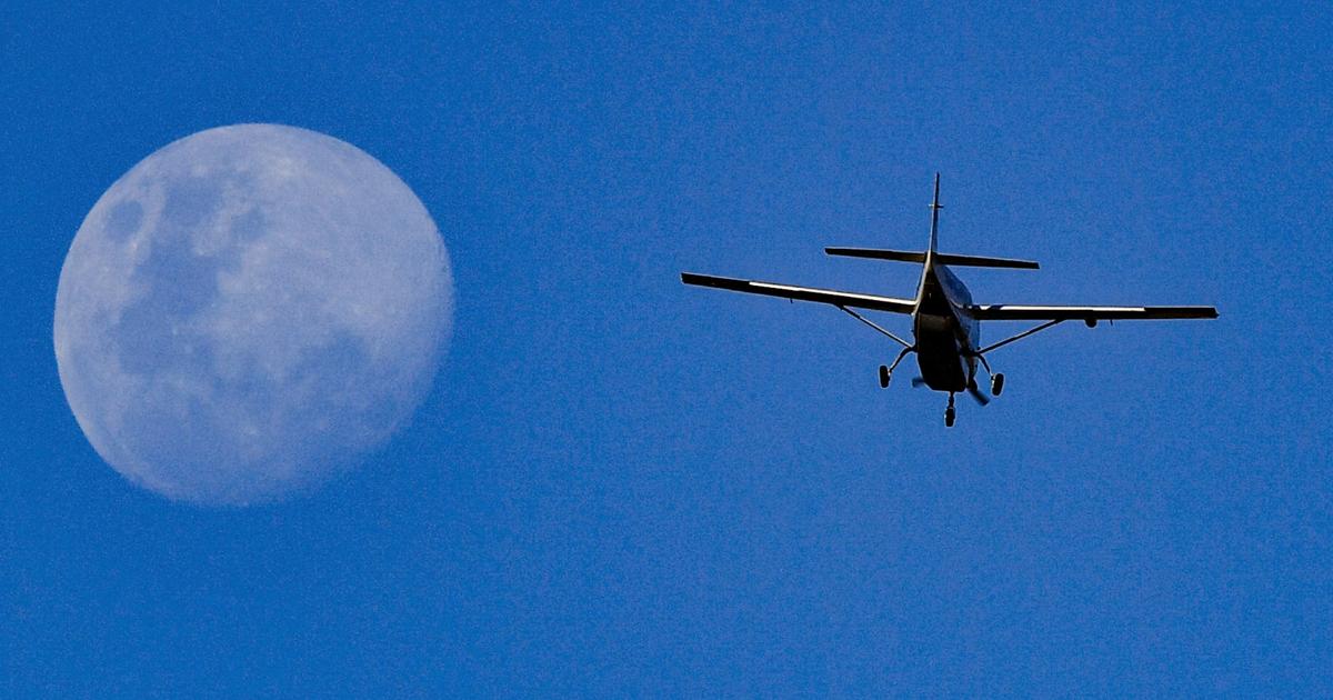
A Partenavia P.68 aircraft, equipped with cutting-edge photogrammetric equipment, will crisscross the department at low altitude. A second aircraft, a P68TC, could also participate in the campaign, if the need arises. The cost of this departmental aerial Photography campaign for updating the PCRS amounts to one million euros.

