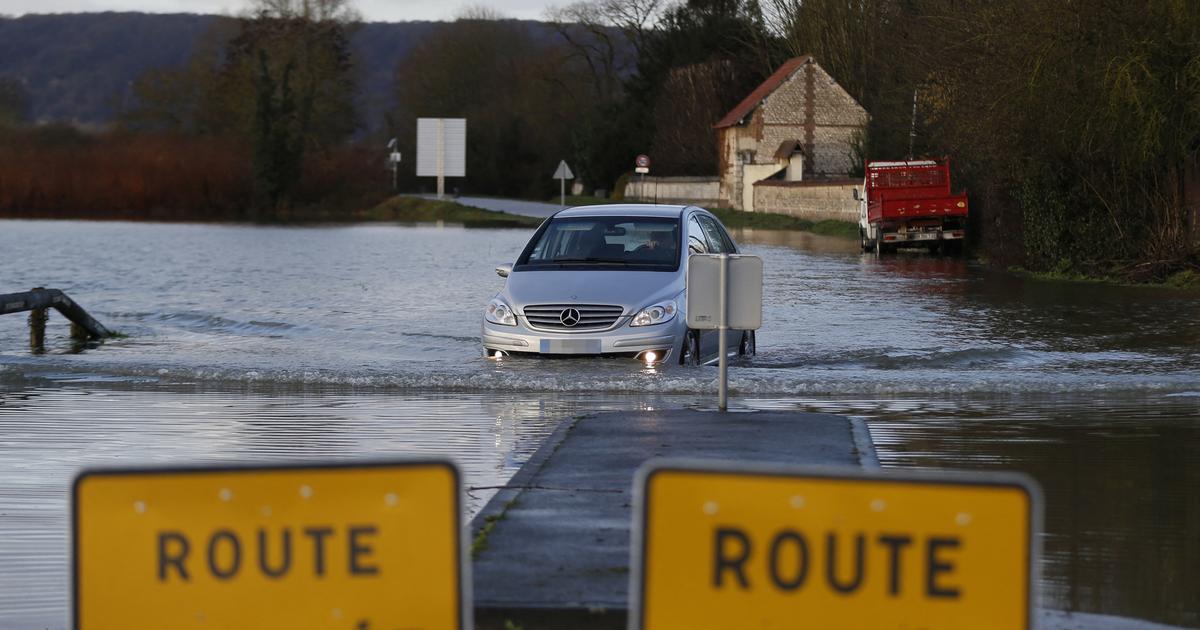
The (very) disturbed weather continues to plague this week. After the Ciara storm, the Inès depression hits France this Thursday. Four departments are placed in orange vigilance (level 3 of 4) by Météo France.
Almost the entire country concerned
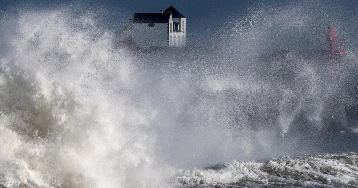
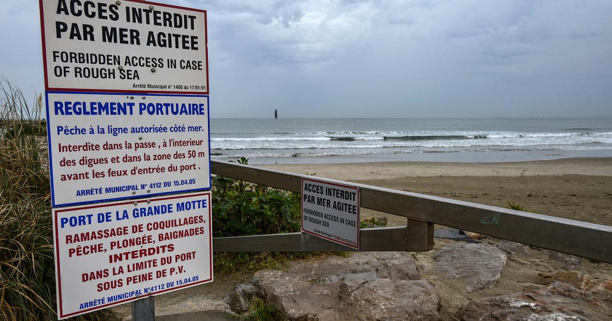
The English Channel and Calvados are under surveillance due to the wind; the Manche, Seine-Maritime and Somme for strong waves and a risk of submersion.
In addition, a very large part of the country is on yellow alert (level 2 of 4) because of the wind, as well as part of the coast of the English Channel, the North Sea and the Atlantic.
Up to 130 km / h on the coast, 110 km / h inland
Inès is "a short winter storm, but with winds strong enough to cause significant damage". Its intensity will be maximum between the end of the morning and the middle of the afternoon.
"The gusts will be of the order of 90 km / h to 110 km / h inland with peaks of up to 110 km / h at 130 km / h on the coast and the exposed headlands of Cotentin", details Météo France. In the yellow vigilant departments, gusts can reach 100 km / h.
In the other departments of a good northern third of the country (yellow alert #vent) the gusts will most often reach 80-90 km / h in the interior but with brief local peaks possible at 100 or even 110 km / h in passing of grain lines (e.g. to # IDF in the afternoon) pic.twitter.com/78jPQXw2tu
- VigiWeatherFrance (@VigiMeteoFrance) February 12, 2020These strong gusts will sometimes occur under thunderstorms, locally accompanied by hail.
The organization warns of the danger of waves at the time of the open sea. "The exposed or vulnerable parts of the coast" are likely to be submerged in the departments in orange vigilance.