By Seth Borenstein -
The Associated Press
For the second year in a row, the world is facing a new La Niña weather phenomenon.
This could lead to dry weather in parts of the western United States, whose arid lands suffer from the harsh fires, and fuel an already active hurricane season in the Atlantic.
Just five months after the end of La Niña, which began in September 2020, the National Office for Oceanic and Atmospheric Administration (NOAA) announced that a new cooling of the Pacific is underway.
The natural cooling of La Niña in some parts of the Pacific is the flip side of El Niño and its warm pattern, and
lays the foundation for a series of weather changes worldwide over months and sometimes years
.
But these vary from place to place and are not accurate, just trends.
[Are you under 40 years old? An “unprecedented” future of extreme heat waves, droughts and floods awaits you]
Santa Barbara County firefighters extinguish a fire along the railroad tracks in Goleta, California, on Oct. 13.
The National Oceanic and Atmospheric Administration announced that La Nina has been formed, which may be bad news for parts of the parched West.Ringo HW Chiu / AP
According to a 1999 study,
La Niña tends to cause more damage to agriculture and drought in the United States than El Niño
and neutral weather conditions.
That study revealed that overall, La Niña causes estimated losses of between $ 2.2 billion and $ 6.5 billion in US agriculture.
How strong is La Niña and how long does it last?
According to Mike Halpert, deputy director of NOAA's Climate Prediction Center, there is a 57% chance that La Niña is moderate and a 15% chance that it is strong.
It is unlikely to be as strong as last year
because La Niña's second consecutive year often falls short of the first, he said.
It is expected to last into the spring, Halpert said.
In this Wednesday, Sept. 1, 2021, file photo, floodwaters slowly recede after Hurricane Ida in Lafitte.
The National Oceanic and Atmospheric Administration announced that La Nina has been formed, which could mean a more active hurricane season in the Atlantic.
Gerald Herbert / AP
What does this mean for the west?
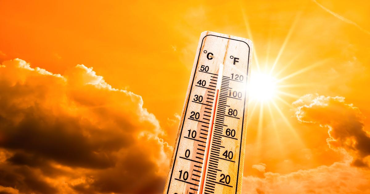
For the entire south of the country, and especially the southwest, La Niña means drier and warmer weather.
The western United States has suffered from a mega drought for more than two decades that has worsened in the last two years.
But for the Northwest (Washington, Oregon, perhaps parts of Idaho and Montana) La Niña means a good chance of rain and drought relief, Halpert explained.
"Good for them (Northwest), probably not so good for Central and Southern California," he said.
[Twelve Habits You Can Change to Save the Planet Without Waiting for World Leaders to Agree]
They manage to contain 40% of the Alisal fire in California.
More than 400 structures remain under threat
Oct. 16, 202100: 37
The Ohio Valley and the northern plains could be more humid and cold.
La Niña winters also shift snowstorms north in cold months, while regions such as the Mid-Atlantic in the US (states in the middle of the country) tend not to have major snowstorms. magnitude.
What about the hurricane season in the Atlantic?
In 2020, during La Niña,
the Atlantic broke a record with 30 storms that were identified with a denomination
.
This year, without La Niña, the season has already been more intense than normal, with 20 named storms and only one unused on the list of major storms: Wanda.
The last two weeks have been quiet, but it's expected "to pick up again," Halpert said. "Just because it's calm now
doesn't mean we won't see more storms as we move into October and even November.
" he added.
In the eye of the hurricane from the sea: historical images recorded by a maritime drone
Oct. 1, 202101: 17
La Niña events tend to make seasons more active in the Atlantic because a key ingredient in storm formation is winds near the top of the storm.
El Niño causes more crosswinds that destroy storms
, while La Niña has fewer crosswinds, allowing
storms to
develop and grow.
And the rest of the world?
Much of Southeast Asia and northern Australia have higher ambient humidity levels with La Niña, and that is already evident in Indonesia, Halpert said.
Central Africa and Southeast China tend to be drier.
["When we lose crops, we lose everything": the climatic emergency aggravates the migratory crisis in Guatemala]
In western Canada, southern Alaska, Japan, the Korean peninsula, western Africa, and southeastern Brazil, the weather is expected to be colder.