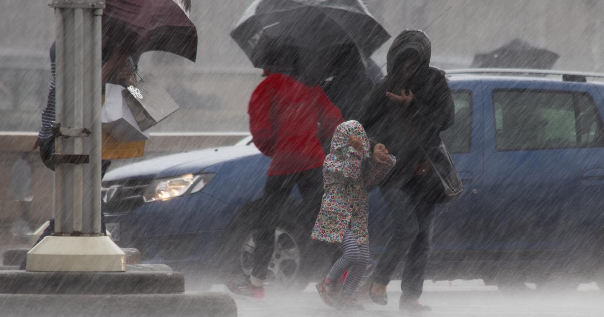
Caution.
In addition to the Nord department, placed in orange vigilance for a high risk of flooding since Saturday, Météo France launched an alert this Sunday morning because of heavy rains in the southwest of the country for four other departments: the Pyrénées-Atlantiques , Hautes-Pyrénées, Haute-Garonne and Ariège.
🔶 5 deposits in #vigilanceOrange
Stay informed on https://t.co/rJ24zzmmy4 pic.twitter.com/gZi51r7VSW
- VigiMeteoFrance (@VigiMeteoFrance) January 9, 2022
In his bulletin published at 6 am, the forecaster fears an "episode of heavy precipitation remarkable for its duration and the expected quantities".
This rain-snow episode persisting this Sunday in the Pyrenean departments will initially be of low to moderate activity, with a rain-snow limit at around 1200/1300 m altitude.
But "the rains become more sustained in the evening and during the night from Sunday to Monday (rainfall intensities close to 10 mm / hour or even a little more)", warns Météo France.
A long and intense episode
This strengthening will be accompanied by a significant warming from west to east on the Pyrenean chain (rain-snow limit becoming greater than 2000 m in altitude), with rains which will then replace the snow in the mountains.
Above all, the episode will continue like this until Monday afternoon.
And even if the trend will then be downward in rainfall intensity, except on the east of the chain, the forecaster further explains that "the rainy episode should not end until Tuesday during the day".
Météo France also noting that "a long swell from the north-west could thwart the coastal flows of rivers, despite a context of low tidal coefficients, constituting an aggravating factor".
Caution, therefore, in these sectors, as in the department of the North, always placed, him, in orange vigilance for a risk of floods.
With particular attention to Helpe Minor.