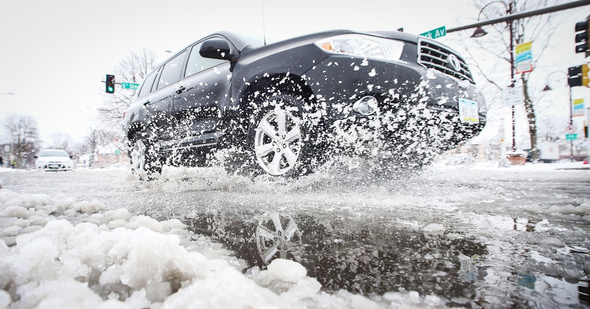
On Monday, the weather conditions continue to deteriorate compared to Sunday with heavy rains in the South-West and heavy snowfall in the mountains.
The wind is blowing hard all over the territory.
The novelty is the drop in temperatures which pass below normal for the season, according to
La Chaîne Météo*
.
Orange alert in the West for high winds
Monday morning, storm Gérard is progressing rapidly inland, stretching from the center of the Aquitaine basin to the north of the Massif Central to Normandy via the Paris region with gusts close to 80 to 90 km / h, and locally 100 km /h.
By the sea, the wind can reach 120 km/h.
Then this gale will rise from Burgundy to the south of Hauts-de-France, with very strong winds, up to 90 km / h in gusts inland.
Read alsoThe weather reigns supreme over the economy again
In the morning the wind will still blow very strongly north of the Seine with gusts close to 80 to 90 km / h, up to 110 km / h in the Vosges.
Then at the end of the afternoon, the winds will weaken.
The lull will be general, but short-lived, as a new secondary low will deepen this time over the Bay of Biscay on Monday evening.
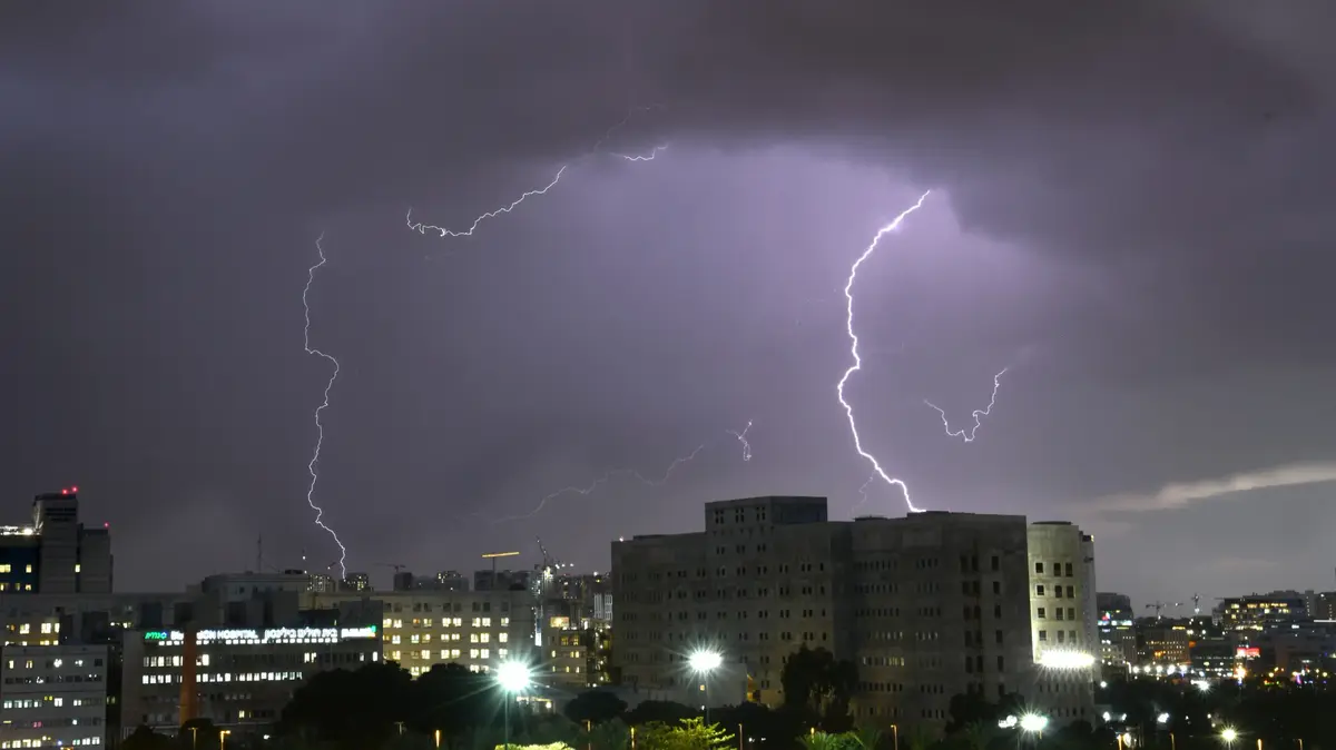
It will cause, in the night from Monday to Tuesday and Tuesday morning, another strong gale with a threat of stormy gusts at more than 110 km / h in the lands of the Aquitaine basin to the south of the Massif central and towards Languedoc -Roussillon, with possible peaks at 140 km/h by the sea.
The Atlantic coast on orange alert for strong winds.
The weather channel
The weather in your area
Over a large southwest quarter,
the rains are frequent and abundant.
Heavy rainfall accumulations can cause occasional flooding.
In the mountains, be careful because of the heavy snowfalls on the Massif Central and the Pyrenees from 700 to 1000 meters in altitude with a risk of snowdrifts forming which can make access to ski resorts very complicated.
In the evening, the arrival of the depression by the Bay of Biscay causes a strengthening of the wind with stormy gusts in the night from Monday to Tuesday.
Read also Ranking of the 200 French ski resorts: snow cover, ski pass prices... Which one is right for you?
From the
Vosges
to the
Alps
, the conditions are very degraded with a lot of snow from 600 to 800 meters.
Be careful, because with the very strong wind at nearly 100 km/h blowing at altitude, access to the ski resorts will be very difficult.
Over a large northern half of the country
, the weather is cold and often gray and unstable with showers, sometimes mixed with sleet.
The wind blows very strong in the early morning up to 100 km / h, before weakening.
The thinnings are more generous in the Pays de la Loire in the afternoon.
Near the Mediterranean,
the weather is unstable with some showers and strong winds in the form of mistral, tramontana and strong westerly winds in Corsica at nearly 90 to 100 km/h where it rains a lot.
*The Weather Channel is a property of the Figaro group.